Get Full Government Meeting Transcripts, Videos, & Alerts Forever!
Get email alerts on the Industrial Subdivision topic
No spam. Unsubscribe anytime.
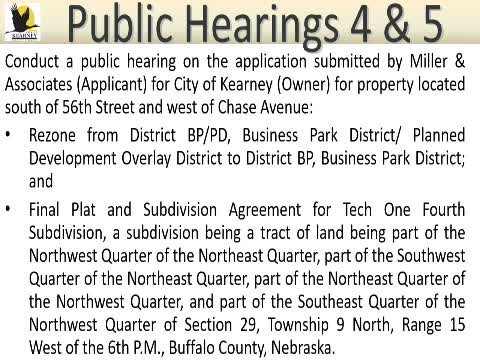
Kearney council approves Tech 1 4th subdivision, removes PD overlay and rezones to Business Park
Summary
The council approved the Tech 1 4th subdivision final plat, removed a Planned Development overlay (rezoned from BP‑PD to BP by Ordinance No. 8715) and approved a final plat and subdivision agreement (Resolution No. 2025‑3) to create four lots on ~30.18 acres north of 56th Street near the substation.
The Kearney City Council approved the Tech 1 4th subdivision and associated rezoning that removes a planned development overlay from Business Park zoning, clearing the way for a four‑lot industrial/commercial subdivision wrapping around a power substation.
Actions taken by the council included adoption of Ordinance No. 8715 to rezone the property to BP (Business Park District) by removing the PD component and adoption of Resolution No. 2025‑3 approving the final plat and subdivision agreement for Tech 1 4th subdivision.
Why it matters: The 30.18‑acre parcel abuts an existing MPPD substation and has existing water, sewer and paving infrastructure nearby; council and staff said the change simplifies regulation for future development in a business‑park context.
Applicant representative Craig Bennett summarized the site: the parcel “is kind of wrapping around that substation” and already benefits from a 16‑inch water main that provides good circulation for future users. Bennett said sanitary sewer was previously extended near the veterans home and would be tied to serve the new lots; stormwater will be conveyed to the NRD outfall channel with individual lots required to provide on-site detention rather than a regional detention cell.
Council members asked questions about contour and floodplain. Bennett noted FEMA mapping shows a portion of the parcel is within the 1% annual chance flood zone (formerly called the 100‑year floodplain) confined by an outfall channel; most of the site lies outside that mapped flood area. After Planning Commission recommendation, the council approved the rezoning and final plat; roll-call votes were unanimous in favor.
What’s next: With the rezoning and final plat approved, the developer can proceed with infrastructure tie‑ins and lot development under the subdivision agreement.