Get Full Government Meeting Transcripts, Videos, & Alerts Forever!
Get email alerts on the Planning topic
No spam. Unsubscribe anytime.
County and city staff seek policy direction on Boulder Valley Comprehensive Plan update; commissioners challenge map detail and policy scope
Summary
County planning staff and City of Boulder representatives presented a major update to the Boulder Valley Comprehensive Plan focused on clarifying planning-area categories, simplifying policy language, and refining how the plan treats annexation and "over-intensive" rural development. Commissioners asked for clearer definitions, community visioning for areas of potential change, and guidance on whether the county should join the city on particular policy statements.
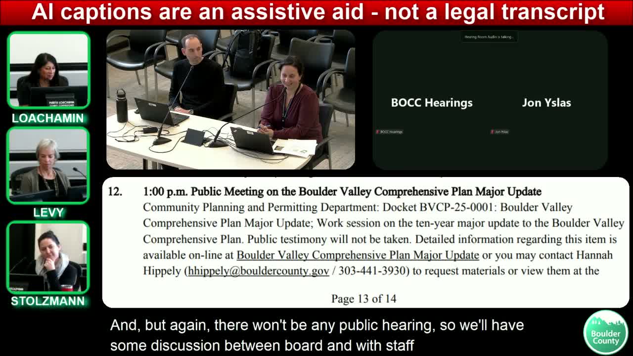
Hannah Hibley, Long Range Planning Division Manager for Boulder County Community Planning & Permitting, and Christopher Johnson, City of Boulder comprehensive planning senior manager, presented a progress update on the Boulder Valley Comprehensive Plan (BVCP) major update. Staff described the update's primary goals as simplifying the plan's language, clarifying planning-area categories (Area 1/2/3), and making the "planning areas map" easier to interpret.
Key presentation points included refining the definition of "new urban development" (Area 2) to clarify when annexation should be required, tightening criteria and procedures for "over-intensive rural development" (Area 3) including possible referral roles for the city, and being more selective about which city policies the county will join in adopting to avoid unnecessary duplication. Hibley presented hypothetical parcel examples (commercial site, inn/hotel, single-family lot) to explore how county zoning, contiguity, and service demands might inform whether proposed redevelopment is considered "new urban development" that should require annexation.
Commissioners engaged in an extended discussion and raised multiple concerns: whether the BVCP update should recreate a shared regional urban-growth "bank" (a quantified UGA), how to incorporate community engagement results such as the "15-minute neighborhoods" assembly and statistically valid surveys, how to balance environmental and infrastructure capacity considerations, and whether the draft future-land-use map appears to restate existing built uses rather than expressing a community vision. Several commissioners emphasized tightening definitions, avoiding duplicate county/city policies that differ in wording, and prioritizing measurable environmental and infrastructure metrics as decision factors.
Staff said they will incorporate the board's feedback, continue outreach (including the assembly's recommendations), and return with a draft land-use map and paper for more directed comment when the full draft is released for public review in early March.