Get Full Government Meeting Transcripts, Videos, & Alerts Forever!
Get email alerts on the Trails Master Plan topic
No spam. Unsubscribe anytime.
Oro Valley presents 60% draft of OV Trails Connect plan; council emphasizes maintenance, mapping and regional links
Summary
Town planner presented the 60% draft OV Trails Connect master plan, highlighting extensive outreach and priorities: maintain existing trails, improve wayfinding, expand multiuse paths. Councilmembers urged posting maps, using Strava/visitor data, elevating volunteer programs and pursuing regional loop connections.
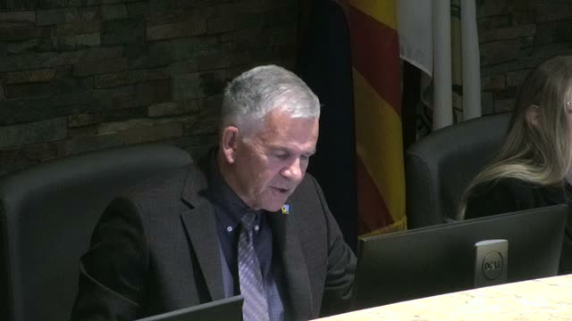
Kyle Packer, the town’s senior planner, presented the 60% draft of the OV Trails Connect master plan to the Oro Valley Town Council on Nov. 19, 2025, summarizing the project scope, outreach results and recommended priorities.
Packer said the plan focuses on four asset types — unpaved trails (Big Wash, Honeybee Canyon), the town loop, the Vistoso Trails Nature Preserve and multiuse paths alongside roadways — and that the town and consultant Kimley-Horn completed extensive outreach, including an online survey that produced roughly 735 responses and five trail-side chats that generated more than 700 comments. “All of this compiled forms the public outreach summary,” Packer said, adding the packet contains about 1,300–1,400 total comments.
Councilmembers and the vice mayor praised the outreach and pressed the planning team on concrete next steps. Councilmember Green asked about a dotted blue alignment on the proposed map that appears to extend north; Packer said it reflects a proposed Pima County expansion of the loop toward Saddlebrook and an eventual connection toward Biosphere 2, noting Pinal County also participates through the regional advisory group. “That is the early alignment we’ve received,” he said.
Vice Mayor Barrett and others urged the town to prioritize maintenance of existing trails and paths and to make maps and wayfinding widely available. Barrett recommended integrating trail maps with the town’s Explore Oro Valley platform to support tourism and resident use; Packer replied the project will post maps at ovtrailsconnect.com and provide multiple formats, including printable PDFs and mapping for the town’s app.
Councilmembers repeatedly emphasized volunteers and quick wins. Multiple speakers suggested elevating volunteer recruitment to the short-term implementation schedule, using volunteers for signage and maintenance, and providing a stakeholder-only map to identify trails that require HOA approvals. Packer said implementation will be phased and funded through a mix of general fund, federal/state/regional grants (ADOT, RTA Next), donations and volunteer work, and that maintenance already appears in current budgets.
Key funding and priority details in the presentation included a $26,000 Arizona Game and Fish grant secured for a shade structure at the Narana Park archery range, and an implementation priority framework that ranks near-term, ongoing and longer-term actions with safety, signage and accessible parking among the early priorities.
Packer closed by asking for council feedback to incorporate into a revised draft, with the goal of returning to the Parks & Recreation Advisory Board and council for a potential adoption in spring 2026. “Please reach out to the planning department to share those thoughts so we can get them incorporated,” he said.
The council did not take formal action on the plan but asked staff to post updated maps, pursue additional data sources (including possible Apple mobility data), and consider elevating volunteer programming to accelerate early implementation.