Get AI Briefings, Transcripts & Alerts on Local & National Government Meetings — Forever.
Commission reviews design for 2.1‑mile Tom Nevers multiuse path
Loading...
Summary
The Nantucket Historical Commission reviewed plans for a 2.1‑mile multiuse path along Tom Nevers Road that would include a short ADA boardwalk, require removal of about 10 public shade trees with replanting, and advance permitting toward bidding in 2026 and construction in 2026–27.
NANTUCKET — The Nantucket Historical Commission on Jan. 16 reviewed design plans for a proposed 2.1‑mile multiuse path that would connect Milestone Road to Tom Nevers Field, bringing a continuous off‑road route to a portion of the island that is heavily used by cyclists, runners and walkers.
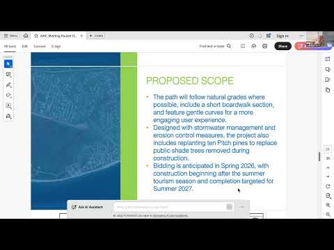
Devon Herrick, a wetland scientist with Weston & Sampson, told the commission the path would generally follow the town‑owned right of way along Tom Nevers Road, maintain a minimum five‑foot setback from the road edge, and be 10 feet wide for most of its length, widening to 12 feet where a short boardwalk is proposed. "We anticipate 10 public shade trees being removed," Herrick said, adding that the project includes an extensive planting plan to replace removed trees.
Commissioners and the project team described a short raised boardwalk section designed to avoid sensitive topography and minimize tree removal. Anton Almeida, a project manager in Weston & Sampson's landscape architecture division, said the boardwalk is wooden, meets ADA code and uses 2x2 metal mesh infill so the structure blends with the surrounding landscape. "It was voted in support [by the Land Bank] when presented in July 2025," Almeida said.
Weston & Sampson reported that a wetland delineation shows the proposed alignment is outside mapped wetland resource areas and therefore does not anticipate Conservation Commission permitting; the project team also noted NHESP habitat and Article 97 lands nearby. Permitting steps described to the commission included an NPDES construction general permit, an in‑progress DOT access permit, and review steps with state environmental review (MEPA) and the Massachusetts Historic Commission; one local review (MISA) remains on hold pending completion of easements.
Commissioners and residents raised safety and access questions. Commissioner and resident Abby DiMolina asked whether crosswalks would link neighborhood streets to the path; the design team said crosswalks across Tom Nevers are not shown in the current plan but agreed to consider a small number of priority crossings at natural access points such as Longwood Drive and Lions Lane. Resident and commenter Drew Pado suggested water fountains for rest stops but noted a lack of public water in parts of the corridor could complicate installation.
Design details under discussion include the treatment of the path edge (lawn vs. native plantings), the effect of overhead utility poles on planting options, and the boardwalk width needed to reduce conflicts between bicyclists and pedestrians. Town staff said bidding is anticipated in spring 2026, with construction to avoid the Memorial Day–Labor Day visitor season and a target to complete the path in 2027.
Next steps for the project include refinement of crossing locations and planting plans, continued work on easements where encroachments are needed, and ongoing permitting. The commission did not take a regulatory vote at the meeting; the presentation served as the design review and opportunity for commissioners and residents to provide feedback.