Get Full Government Meeting Transcripts, Videos, & Alerts Forever!
Get email alerts on the Comprehensive Planning topic
No spam. Unsubscribe anytime.
Effingham holds public workshop on future-use map; residents raise traffic, stormwater and floodplain concerns
Summary
City staff presented an updated future-use map and zoning guidance; residents questioned industrial expansion near Rainey Street and Dutch Lane, raised traffic and drainage concerns around Menards and JC Avenue, and discussed costs of sewer, LOMA and rising construction financing. No vote was taken.
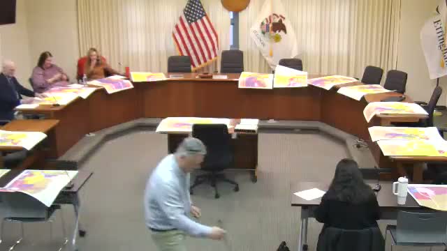
City of Effingham staff led a public workshop on the city—uture-use map, explaining how the nonbinding map guides where officials expect residential, commercial and light-industrial development to occur over the next 20 years. City administrator (Unidentified Speaker 1) said the map is intended to inform subdivision and development proposals and invited property owners to mark parcels for follow-up.
The presentation distinguished the legally binding zoning on tax records from the future-use map, which staff described as a planning tool. "What we're working on tonight, which is good for the next 20 years," the city administrator said, urging residents to tell staff if they thought the proposed use for their parcels should change.
A developer representative (Unidentified Speaker 2) pointed to recent projects north of Menards and the VA clinic as examples where the comprehensive plan supported multifamily development and where engineers addressed stormwater and traffic during review: "The long term comprehensive plan for the city of Effingham was to use that ground for this exact purpose," he said, describing negotiations over hydrant spacing, sidewalks and sewer connections.
Residents raised specific concerns about density, traffic and drainage in multiple neighborhoods. One longtime resident noted recurring pooling after rain and asked whether storm sewer installations were planned; staff acknowledged plans for storm sewer on East AC and said such infrastructure needs are considered during subdivision review. A resident and participants also recalled a letter-of-map adjustment (LOMA) process used to remove a property from the floodplain and cited a fee of about $1,200 for that procedure.
Speakers discussed minimum lot sizes tied to sewer availability. Staff and attendees said lots served by sanitary sewer can be smaller (speaker referenced a 6,000-square-foot minimum as typical for sewered lots), while lots relying on septic systems generally require multiple acres depending on soil tests. Project financing and construction costs were also raised: an eight-unit building was cited at about $650,000 to build (roughly $60,000 per unit on that project), and speakers said higher interest rates and rising costs have put some plans on hold.
The presentation highlighted a proposed extension of light-industrial designation along Rainey Street and down Dutch Lane (shown purple on the map); staff told owners now is the time to request changes if they prefer residential use. Attendees discussed the airport area as a potential annexation and economic hub to be considered in the plan.
No formal motions or votes were recorded in the transcript. Staff said feedback from this and earlier focus-group meetings will be consolidated and sent to a steering committee and that utilities and city staff will follow up with property owners by email. The meeting closed after public questions and informal conversation.
Next steps: staff will compile comments from this workshop and the utility/steering groups for the steering committee to review; property owners who marked parcels will receive follow-up from city staff.