Get Full Government Meeting Transcripts, Videos, & Alerts Forever!
Get email alerts on the Land Use topic
No spam. Unsubscribe anytime.
Glenview resident urges state review after alleging village-supplied maps mischaracterize tennis-court elevation and floodplain compliance
Summary
Resident Joe Nash told trustees he believes "mountains of fill" were brought to a site near the tennis courts in September 2022 and that the village may have provided inaccurate information to the Illinois Department of Natural Resources; he said he filed complaints and urged investigation and raised concerns about proposed commercial lighting affecting his home.
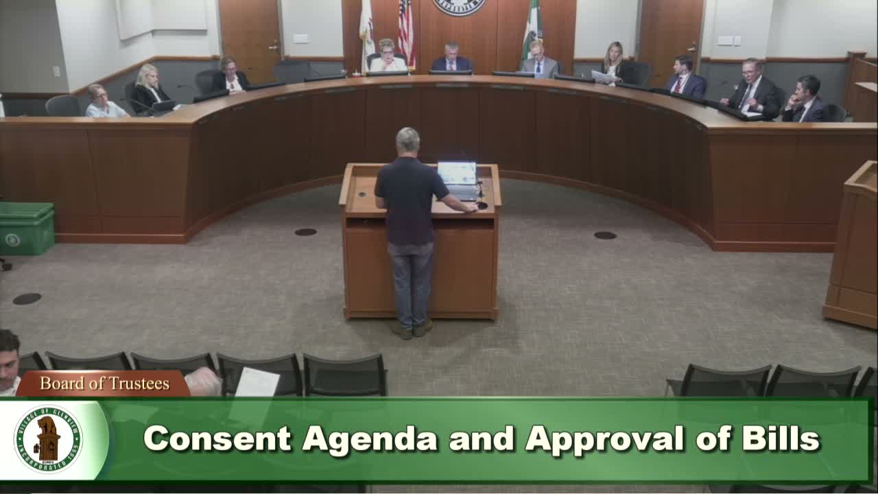
At the June 17 meeting, resident Joe Nash (1844 Wildberry Drive) addressed the board during public comment about item 9A1 and a site map. Nash said he had raised building-code and topographical survey concerns in 2022 and alleged that fill was imported to the site around Sept. 10, 2022, raising ground elevations by "2 to 5 feet" without notice to neighbors. He told the board he filed complaints with the Illinois Department of Natural Resources (IDNR) and the village.
Nash said that IDNR provided a historical 2007 GIS map showing the tennis courts at the same level as today and that, in his view, the village told IDNR that no fill had been brought in. He said that if the village did provide inaccurate information to IDNR, an investigation could follow and that false statements to state agencies can carry penalties. Nash also said raising the tennis courts could increase flood risk to nearby properties and cited prior flooding along Pine Street. Separately, he objected to "2 5000 K commercial light bars" proposed about 200 feet from his bedroom and warned about privacy and safety impacts.
Board members responded that the village did not have the speaker's requested screen materials ready to display but said they would distribute the maps to trustees. No board action or determination was recorded at the meeting on the substance of Nash's allegations.
Status: Nash said he has asked IDNR to investigate accuracy of the 2007 GIS map and has filed complaints; the matter remained unresolved on the record and may warrant follow-up by staff and, if required, agency review.