Get Full Government Meeting Transcripts, Videos, & Alerts Forever!
Get email alerts on the Land Use topic
No spam. Unsubscribe anytime.
Effingham open house previews changes to future land‑use map, explains annexation and ET limits
Summary
City planning staff told residents at an open house that the comprehensive plan — and the city’s extraterritorial (ET) zoning reach — guide future annexations, utilities and development; officials said map revisions are expected within months and public comment opportunities will follow.
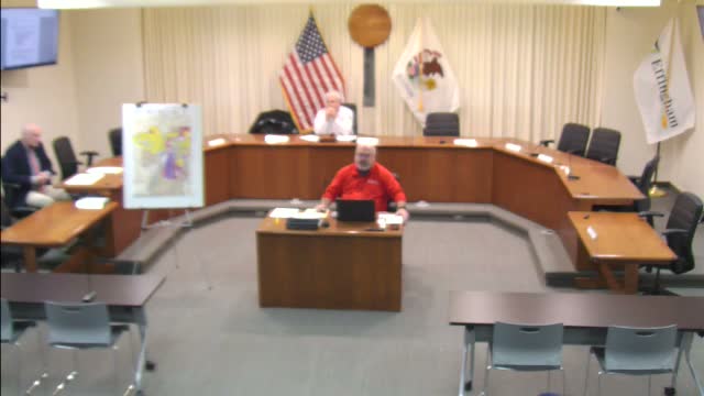
City planning staff outlined how Effingham will use its updated comprehensive plan to guide future annexations, utilities and development at a public open house, saying the city expects to revise its future land‑use map within the next six months.
The most immediate topic was the city’s extraterritorial (ET) authority. City staff (Speaker 1, city flood‑plain administrator and planning presenter) said the state legislature authorizes municipalities to exercise zoning and subdivision regulation up to 1.5 miles beyond city limits, but only where the city has adopted an official plan covering that area. "The state legislature gave the city authority to exercise their zoning and subdivision ordinances up to a mile and a half beyond the city limits at state statute," the presenter said, and added that annexations can shift where the ET boundary is applied.
Why it matters: annexation and utility extension are linked. Staff explained that extending public water or sanitary sewer is often tied to requests for annexation; when utilities are extended the city may expect property owners to accept city jurisdiction. Staff also described tradeoffs: annexation can enlarge the tax base but also increases service responsibilities such as police and fire protection.
The presentation described the practical limits the city weighs when considering growth: floodplain constraints near the Little Wabash River, transportation access, and existing infrastructure. Staff pointed to clustering as one policy tool to preserve farmland while allowing limited residential infill (an example discussed was one dwelling unit for two acres with clustered lots to leave the remainder in agricultural use).
Participants pressed staff on process and timing. A resident asked whether the city’s decision to enforce ET rules is automatic when borders change; staff replied it is not automatic and that the city must have the comprehensive‑plan framework in place first. Staff said the city will hold additional open houses and accept written comments when a draft map is available.
What’s next: staff said they will revisit the future land‑use map and bring proposed changes to the public for comment, and that decisions about annexations will continue to follow the statutory processes (voluntary annexation, the "less than 60 acres" method, or, rarely, court‑ordered annexation).