Get Full Government Meeting Transcripts, Videos, & Alerts Forever!
Get email alerts on the Parkland topic
No spam. Unsubscribe anytime.
Park advocates outline options to close Denver’s parkland gap and protect South Platte River
Summary
Denver Park Trust and planners told the South Platte River Committee that Denver faces a parkland shortfall (roughly 1,300 acres by one estimate) and proposed tools — overlays, a river district, buildable‑lands analysis and pilots — to create river‑sensitive park and open‑space protections and add city park acreage.
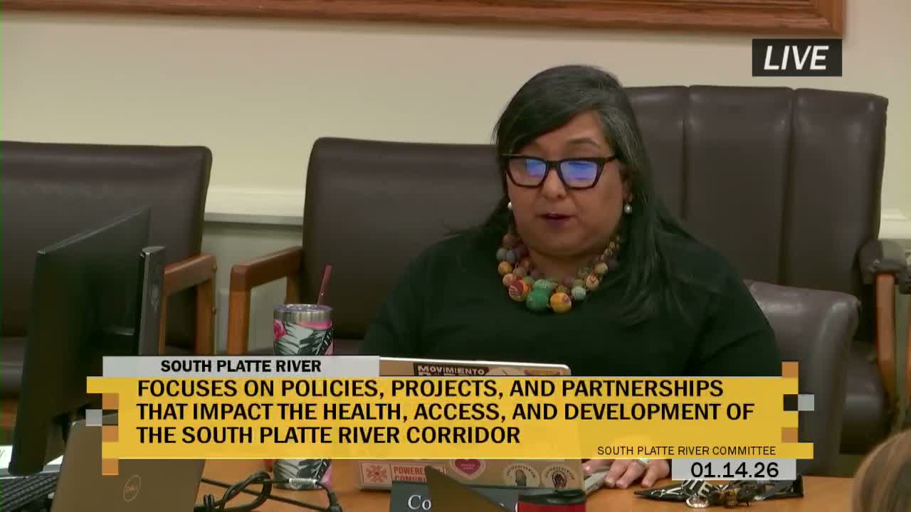
Denver Park Trust representatives and former city planning staff briefed the South Platte River Committee on Jan. 14 about the city’s parkland shortfall and opportunities to strengthen protections and expand open space along the South Platte River corridor.
Rocky Pero, a retired city planning director who now works on park advocacy, said Game Plan (the city's parks framework) previously identified roughly a 1,300‑acre deficit in parkland and projected the gap could grow under a status‑quo scenario. He cited Trust for Public Land benchmarks showing a national average of about 13 acres of parkland per 1,000 residents, compared with Denver’s current reported average of about 9 acres per 1,000.
Frank Rowe, co‑founder and executive director of the Denver Park Trust, said the trust’s work focuses on adding parks in historically under‑resourced neighborhoods and on district‑by‑district analysis to identify where pocket parks or larger acquisitions could close local gaps. "Our mission is to add parks where none exist," Rowe said.
Presenters highlighted specific river‑corridor concerns: degraded embankments and vegetation, water‑quality challenges (presenters cited a 2021 E. coli measurement they said was as high as 137 times the federal safety standard in parts of the watershed upstream of Denver), and a proliferation of underutilized or incompatible land uses along the bank that could undermine river health if not addressed. They proposed possible policy responses including an overlay district, a river‑centric district, area‑wide rezoning, infrastructure standards to reduce stormwater runoff, and a demonstration pilot project along parts of the river to test approaches.
Committee members raised technical and equity questions: whether privately managed open space (metro‑district parks) and designated schoolyards were counted, how the analysis treats passive versus active parkland, and whether increasing parks could accelerate displacement. Presenters said current datasets emphasize city‑owned land but that some metro‑district and designated school open spaces were included; they committed to follow up with district‑level inventories and to study active vs. passive breakdowns. Rocky Pero said he prefers the term "retention" (policies to keep existing residents) rather than the word "gentrification" when framing neighborhood impacts of new parks.
The committee discussed next steps including district‑level assessments at councilmembers' requests, leveraging university research and capstone projects for pilot studies, and exploring legislative or policy tools to move toward the 13‑acre benchmark. Presenters offered to produce district summaries on request and to work with Parks and Recreation, flood‑control partners and university partners to refine policy options.