Get Full Government Meeting Transcripts, Videos, & Alerts Forever!
Get email alerts on the Land Use Planning topic
No spam. Unsubscribe anytime.
West Linn council hears public concerns and directs staff to revise waterfront plan maps and preservation language
Summary
At a work session on Oct. 7, West Linn staff and consultants presented the Waterfront Vision Plan; members of the public urged stronger preservation language and clarified Planning Commission recommendations to remove housing in the Ponds District south of 5th Avenue. Council directed staff to adopt the 1996 flood boundary on plan maps, remove the 'medium-density residential (planning stage)' box for that Ponds area, and draft language encouraging historic-structure rehabilitation and affordable-housing consideration for the next work session.
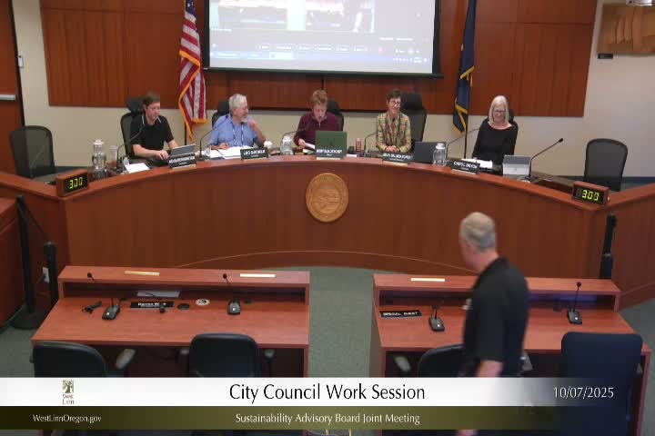
West Linn councilors and staff spent the Oct. 7 work session reviewing the Waterfront Vision Plan and taking public comment on sensitive elements of the draft, particularly land-use depictions for the Ponds District and language encouraging preservation of industrial heritage.
Sandy Carter, representing Advocates for Willamette Falls Heritage, urged stronger language to preserve the city’s industrial assets. “We recommend clarifying by specifically encouraging the preservation of some of the built industrial structures currently on Moores Island for repurposing and interpretation,” she said, asking that the plan explicitly prioritize reuse of surviving structures rather than vague encouragement.
Residents and conservation groups raised concerns about map depictions that show potential medium-density housing south of 5th Avenue in the Ponds District. Longtime resident Russ Saks told the council the Planning Commission had recommended removing housing in that area, and he urged staff to update figure maps to reflect that recommendation. Terrence Shoemaker of Friends of Willamette Wetlands emphasized that the contested 35-acre area south of 5th Avenue contains wetlands, flood hazards and legacy industrial wastes and that maps and staff memos should not misstate the Planning Commission’s recommendation.
Staff and consultants acknowledged those concerns and proposed specific clarifications. The consultant presented district frameworks—Historic City Hall, Cultural Heritage (including Moores Island), and the Ponds District—and implementation steps for the plan, including potential comp‑plan and development‑code updates, transportation-system-plan alignment, and public–private partnership strategies. Jennifer Shook of Leland Consulting Group outlined financing and near-term 'early-win' actions (for example, temporary programming at the City Hall waterfront plaza and safer fishing-dock access) and recommended using urban-renewal/TIF strategically to catalyze investment.
On the map dispute, staff recommended and council agreed by consensus to use the 1996 flood-elevation boundary to better reflect floodplain mapping and to remove the 'medium-density residential (planning stage)' box from the Ponds District map so the plan never appears to promote development in the wetlands. Staff said current zoning remains unchanged—removing the planning-stage box is an aspirational map edit and would not create a legal prohibition on future development applications subject to standard land‑use review.
Council asked staff to draft a small set of alternative preservation statements and to propose language encouraging affordable housing 'where feasible' so the council can refine the plan at the Oct. 21 work session before a public hearing in November.
Next steps: staff will return draft map revisions and language options for council review on Oct. 21; if directed, consultants will incorporate chosen language for a Nov. 18 public hearing and subsequent adoption process.