Get Full Government Meeting Transcripts, Videos, & Alerts Forever!
Get email alerts on the Rezoning topic
No spam. Unsubscribe anytime.
Inkster Planning Commission recommends multi-area rezoning to city council to align zoning with master plan
Summary
The commission voted May 27 to recommend a zoning map amendment for three areas — Dunning, Cherry/Harrison and Henry Ruff/Parkwood — saying the changes align zoning with the 2025 master plan and would grandfather existing occupied uses while requiring future commercial plans to come through as PUDs.
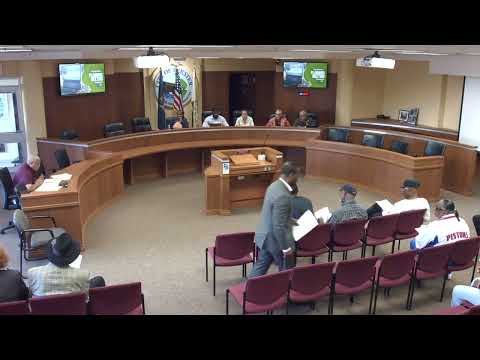
The Inkster Planning Commission voted May 27 to recommend a zoning map amendment that would change land-use designations across three areas of the city, sending the proposal to city council for two readings.
Planning staff presented the proposal as a step to align the city’s zoning map with the March 2025 master plan. The amendment would rezone: 60 parcels in the Dunning area from M-1 (Light Industrial) to R-1B (one-family residential); 49 parcels in the Cherry/Harrison area from M-1 to RM (restricted multiple dwelling low-rise); and 5 parcels in the Henry Ruff/Parkwood area from R-1B to PUD (planned unit development). Staff provided acreage figures during the hearing: roughly 9.85 acres for Dunning, about 2.05 acres for Cherry/Harrison, and approximately 43.05 acres for the Henry Ruff/Parkwood site.
Planner Mister Dowdell told the commission the change responds to community feedback and future land-use guidance, noting that surveys showed residents prioritized housing over light-industry uses. He said many parcels currently zoned M-1 contain preexisting houses or active storage uses that would remain as legally nonconforming ("grandfathered") so long as those uses continue, but that exterior modifications could be restricted under nonconforming-use rules.
During public comment, residents asked whether vacant lots or church sites would lose the ability to host commercial uses. Staff said vacant parcels in the proposed PUD area would remain residential by default; commercial uses on those lands would require a developer to submit a PUD plan and obtain council approval. Property owners also raised assessment questions; staff directed taxpayers to the assessor’s office and the March board-of-review process for classification and valuation appeals.
After public testimony and commissioner questions about nonconforming uses and the status of several properties, the commission closed the hearing and voted to forward its recommendation to city council. The clerk recorded the motion as adopted by voice vote; no roll-call tally was recorded in the public record.
The zoning map amendment now advances to city council for review and two readings, where council will consider the commission’s recommendation and public feedback before a final decision.