Get Full Government Meeting Transcripts, Videos, & Alerts Forever!
Get email alerts on the Critical Areas Ordinance topic
No spam. Unsubscribe anytime.
Tenino planning commission reviews two riparian-buffer approaches in critical areas update
Summary
Planning staff presented two options for riparian buffers in the critical areas ordinance: the Department of Fish and Wildlife's site-potential tree-height tool (variable buffers, minimum ~100 feet, commonly up to 250'300 feet) or a uniform 150-foot buffer; staff will run local scenarios and Ecology recommends five-year validity for wetland delineations.
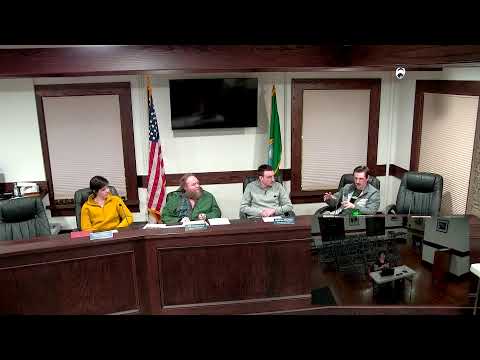
Tenino planning staff outlined proposed changes to the city's critical areas ordinance at the planning commission meeting Dec. 10, presenting two alternatives for riparian buffers that will affect future development near Scatter Creek and other mapped waterways.
Melissa, a city planning staff member, told the commission the city must update the ordinance to comply with the Growth Management Act and other rules and said the Department of Fish and Wildlife recommends using a site-potential tree-height tool that measures tree height around riparian areas to determine buffer widths. "The site standard or site-specific tree height ... essentially a tool that the Department of Fish and Wildlife has put out that measures the height of trees around the riparian areas," Melissa said. She described the other option as a uniform 150-foot buffer across all riparian areas.
Why it matters: buffer choice affects how much land adjacent to streams is restricted for development, what mitigation is required, and how predictable requirements are for property owners and contractors. Melissa said both approaches are supported by best available science; the site-specific approach typically produces variable buffers (she cited minimums around 100 feet and common maximums in the 250'300-foot range), while a 150-foot standard is simpler and more predictable for applicants and local planners.
Implementation and responsibilities: Melissa said the measurement burden rests with applicants. If Fish and Wildlife has not already mapped a site, applicants would likely need to hire a qualified professional (for example, a forester or forest biologist) to measure tree heights under the tool's parameters. "It's on the applicant," she said. Melissa added the city can run scenarios using the state tool and would provide maps and examples for the commission to review.
Ecology review and validity: Planning staff proposed adding validity statements for technical reports (for example wetland delineations and ratings), aligning with Department of Ecology recommendations that such delineations be considered valid for five years unless reviewed otherwise. Melissa said Ecology reviews wetland delineations at no cost and can offer subject-matter expertise during the review process.
Other code updates: Melissa also summarized other revisions in the draft code: clarifying no-net-loss language, defining additional low-impact activities that do not require a critical-areas report (educational or scientific activities, routine maintenance of existing facilities), and adding tree-hazard language to allow immediate removal in genuine emergencies with replanting or mitigation requirements. She described emergency exceptions for public and private utilities but said utilities cannot impair critical-area functions and would need to follow the normal review and mitigation process for non-emergency work.
Flood-hazard code: The flood-hazard portion of the draft was reviewed by the Department of Ecology to ensure the draft meets minimum National Flood Insurance Program (NFIP) standards. Melissa warned that Tenino is not currently in compliance with NFIP and that adoption of the proposed code language is necessary to restore compliance and protect residents' access to flood insurance. "Once it's adopted, we're good to go, essentially," she said.
Next steps: Commissioners asked staff to run the Fish and Wildlife tool for Tenino scenarios, map local watercourses and tributaries, and report on adoption practices in neighboring jurisdictions. Melissa said she would provide scenario outputs and comparative research at a future meeting so the commission can weigh the trade-offs between a predictable 150-foot standard and the variable, site-specific approach recommended by the state agency.