Get Full Government Meeting Transcripts, Videos, & Alerts Forever!
Get email alerts on the Transportation Planning topic
No spam. Unsubscribe anytime.
Commissioners approve $121K scope to finish Guadalupe County thoroughfare plan after contentious map review
Summary
After months of work and intense scrutiny from rural landowners, the court approved an additional services request to complete the county's major thoroughfare plan, including GIS overlays, large printed maps and targeted commissioner meetings to address questions about lines that cross private property.
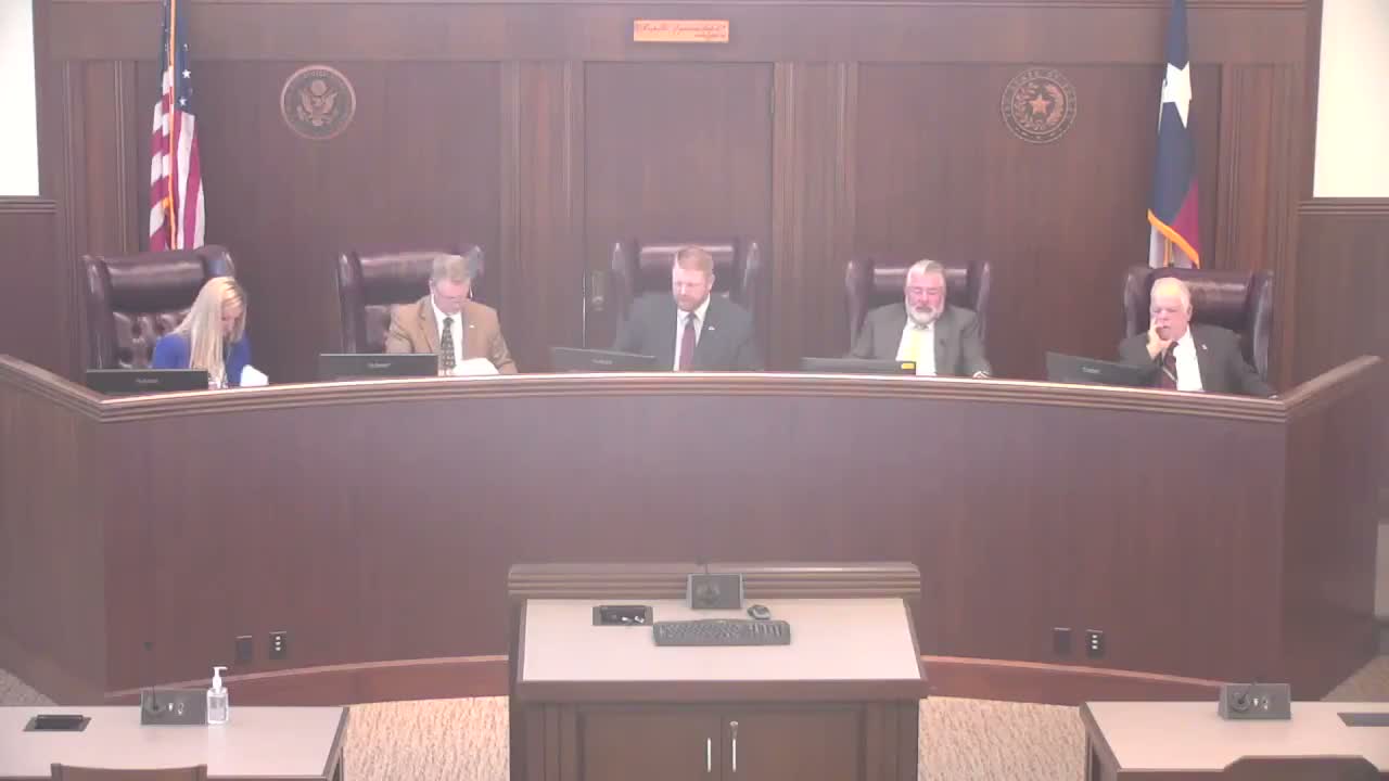
Guadalupe County commissioners voted on March 25 to approve a proposed additional services request from Pape (Peyton) Dawson to finish the county’s major thoroughfare plan, fund mapping cleanup and provide GIS layers and commissioner‑level meetings to clarify proposed alignments.
County planner Barry Black told the court the proposed work would finalize mapping revisions, align selected road segments with existing rights‑of‑way (including a Lehman Road alignment cleanup presented earlier in the hearing) and produce clear GIS and printed exhibits for public review. He said the additional services request reflects the work needed to prepare for public meetings and to address detailed commissioner concerns.
Several commissioners — particularly Commissioner 8, newly elected in January — read dozens of constituent messages and expressed strong concern about lines that appear to cut across private property rather than follow existing roads or property lines. “I have absolutely no understanding… it is very difficult to see where some of these roads fall,” Commissioner 8 said, asking for digital overlays showing existing roads, proposed roads and property boundaries and for large printed maps for public hearings.
Consultants and staff agreed to provide layered GIS exhibits (existing vs. proposed), large printed maps and focused meetings where commissioners could highlight specific parcels in advance so consultants could explain why a proposed alignment uses a given route (safety, curvature, environmental constraints or connection to other planned facilities). Consultant Gilmore Gaston said some curved alignments are proposed to create safe roadway geometry rather than follow existing, angular dirt lanes that would not function as an upgraded thoroughfare.
After discussion about scope, meeting allowances and budget limits, the court approved the additional services request (the scope and budget presented at the meeting). Commissioners asked staff to ensure the first rounds of maps include dashed lines for existing roads and solid lines for proposed roads and to prepare public‑facing explanatory language prior to hearings.
Next steps: Staff will provide the revised GIS layers, printed exhibits and scheduled commissioner meetings, then move to public hearings and a final adoption process. The court directed staff and the consultant to prioritize clarity and public outreach to reduce confusion and the volume of contested public testimony.