Eureka unveils citywide tsunami outreach plan after recent false alerts
Loading...
Summary
Eureka public safety officials described a new tsunami outreach program aimed at rapid evacuation in a local‑source event, updated GIS maps, neighborhood outreach hubs, targeted outreach for vulnerable populations and a pending Cal OES grant to fund signage, school videos and evacuation planning.
Chief Stevens, the city’s public safety lead on the project, told the City Council on Jan. 20 that a local‑source tsunami could "reach our shores within 10 minutes," and the city must treat evacuation and readiness as a way of life.
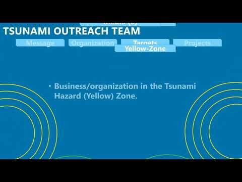
The presentation outlined a four‑part outreach strategy—messaging, organization, targets and projects—led by the Eureka Police Department with Humble Bay Fire, the Community Emergency Response Team (CERT) and the Redwood Coast tsunami working group. Stevens said the city has updated its GIS and online maps to align with state and federal standards and has started targeted outreach to businesses, motels, houseless populations and public facilities.
Why it matters: a local tsunami triggered by a Cascadia Subduction Zone rupture would give residents only minutes to move to high ground. City officials said preparedness and clear, simple messaging are the most effective tools to reduce chaos and save lives in that window.
Key elements and next steps
- Maps: staff said they have completed updates so the city's maps now match state and federal tsunami mapping and that sectional, neighborhood maps can be provided to the council and posted online. "If you go to the website... it has Eureka," Stevens said, adding staff will break the map into six sectional maps for neighborhood distribution.
- Neighborhood outreach: the team has identified six inundation districts anchored by neighborhood hubs; businesses such as Pearsons were described as outreach hubs (not safe refuge sites), with Pearsons "taking the lead on that" for educating neighboring businesses and residents.
- Vulnerable populations: the program includes a dedicated housing‑unstable steering committee led by a community access partner and outreach to older adults and residents with mobility issues; council members urged coordination with the regional center for people with disabilities.
- Projects: completed GIS updates; upcoming main‑street signage developed with local artists; a school tsunami video contest for local high schools; department‑level outreach where city crews will carry flyers during normal duties; a Cal OES grant application to fund outreach; and a county‑level evacuation plan in partnership with county OES.
Council questions and staff responses emphasized practical points: Pearsons will function as a neighborhood communications hub but "is not a safe location to go to" during a tsunami; if you are in a designated tsunami zone (the "yellow zone") you should evacuate immediately and remain at high ground until an official all‑clear is issued; and those not in a zone should stay put and avoid driving into hazard areas.
A council request: several members asked for simpler slogans—short, repeatable instructions akin to "stop, drop and roll"—and for clear, downloadable sectional maps on the city website.
What’s next: staff said signage work, school video outreach and the Cal OES grant effort are underway, and that evacuation planning with county OES remains a substantial next task.