Get Full Government Meeting Transcripts, Videos, & Alerts Forever!
Get email alerts on the Land Use topic
No spam. Unsubscribe anytime.
Board approves setback variance for Razorback Road development with floodplain limit
Summary
The Fayetteville Board of Adjustments unanimously approved a variance allowing a developer to measure the UT district build-to zone from the master street plan right-of-way for a South Razorback Road project, with a condition that the variance does not apply north of the 100-year floodplain. Staff had recommended denial.
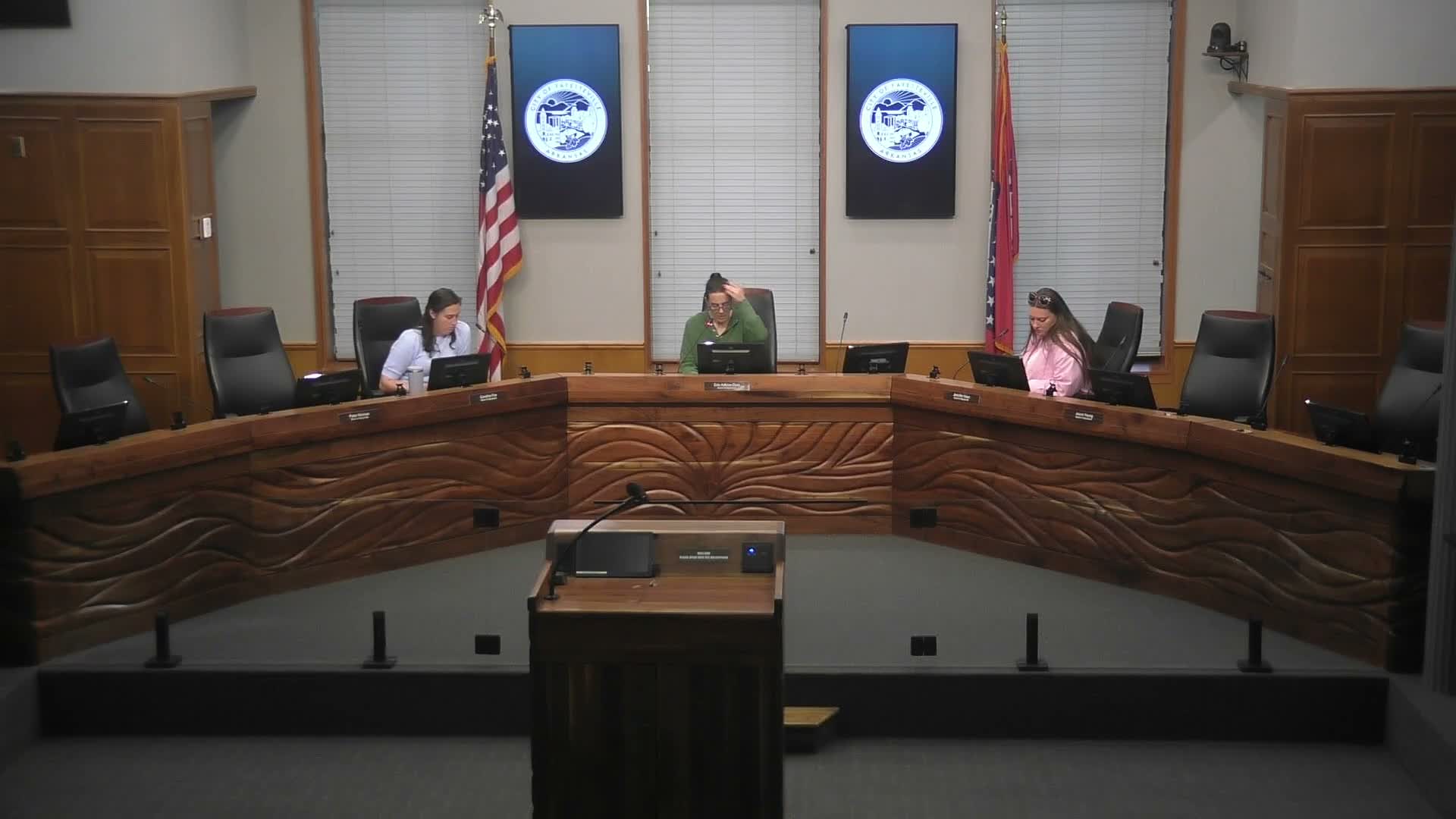
FAYETTEVILLE — The Fayetteville Board of Adjustments on Nov. 3 approved a setback variance for a proposed three-block residential development on South Razorback Road, voting unanimously to allow the developer to measure the Urban Thoroughfare (UT) build-to zone from the master street plan right-of-way rather than from the Arkansas Department of Transportation right-of-way. The motion included staff-recommended conditions and an added board condition that the variance “does not apply north of the 100 floodplain.”
City planning staff had recommended denial, saying there was no clear site-specific hardship and that the UT district was intended to support higher-intensity, automobile‑oriented uses with a 10‑to‑25‑foot build-to zone. "Staff is recommending denial of this item, not finding the case that there is a significant hardship here," staff said during the hearing.
The applicant, represented by planner Brian Teague, said the parcel is heavily encumbered and that regulatory changes have reduced developable area. "About two of the three acres is encumbered with development constraints," Teague said, and he pointed to a January 2024 FEMA map revision that expanded the floodplain on the site. He asked the board to measure setbacks from the master street plan line to preserve a walkable street edge: "We would ask that you would approve this variance request to allow us to measure the build to zone from the master street plan right of way." Owner Chris Looney told the board he has owned the site since 2019 and said the plan would provide "quality and affordable housing" and slow traffic.
Board members debated several compromise approaches — including measuring setbacks from the back of the proposed trail — and sought stronger language so single-family lots in the floodplain could not use the variance. One commissioner said the applicant's buildings would be approximately 10.35 feet from the master-plan ROW as currently drawn. Staff cautioned that final trail and street improvements would be determined through subsequent engineering and large-site improvement plan reviews.
After discussion, the board voted in favor of approval with the staff conditions and the additional limitation excluding the north-of‑100‑year‑floodplain area. The vote was recorded as Yes from Keyes, Young, Norman, Fox and Atkins Wery.
What happens next: the approval allows the applicant to proceed toward site design and the large-site improvement plan process; staff and planning commission review may still be required for any deviations to the master street plan or later variances. The board’s condition limits how the variance may be applied within the parcel, particularly where floodplain overlays exist.