Transportation Commission recommends operational pilot after smartphone tolling test
Get AI-powered insights, summaries, and transcripts
Subscribe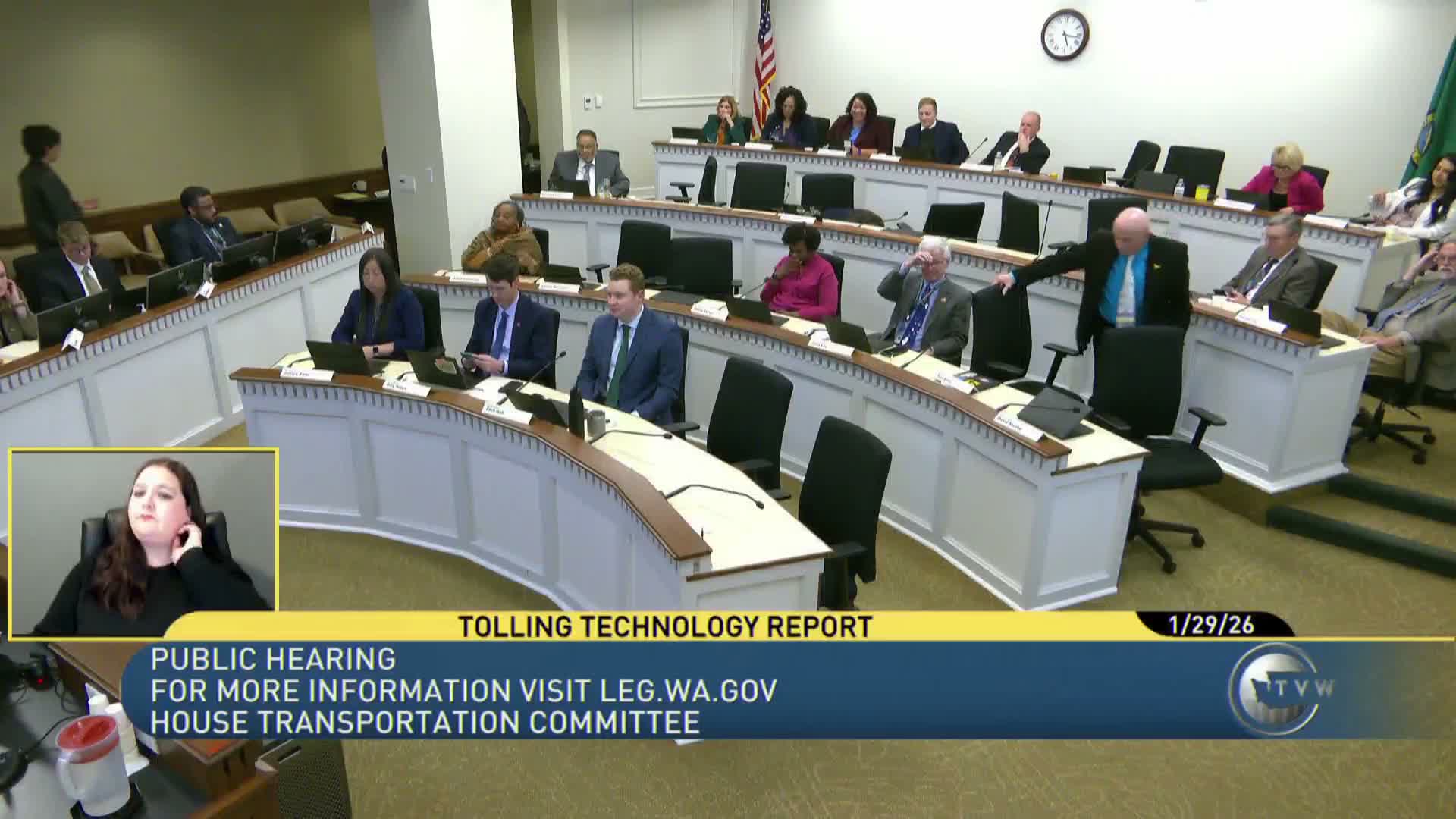
Summary
A Transportation Commission pilot testing a commercial smartphone tolling app with Good2Go users found near-perfect accuracy when the app was Bluetooth-paired to the vehicle and recommended a fully operational pilot with roadside cameras to assess deployment, privacy and equity implications.
The Washington State Transportation Commission presented results of a tolling-technology pilot that tested a commercially available smartphone app (Go Karma) with Good2Go customers to assess whether smartphone-based tolling could complement existing tag- and camera-based systems.
Grama Griffith, executive director for the Transportation Commission, and consultants from CDM Smith described the pilot scope and objectives: a global scan of emerging tolling technologies; recruitment of more than 300 Good2Go customers; configuration of geofence-based detection on SR 520 and an SR 18 test segment; and collection of approximately 13,000 toll transactions during a two-month pilot.
Travis Dunn (CDM Smith) summarized the key technical findings. When participants paired the smartphone app to their vehicle via Bluetooth, accuracy was “very high” — of roughly 4,000 paired transactions in the pilot, the team observed only one duplicate transaction that could be addressed with business rules. When phones were not paired to vehicles, matching rates fell (about a 64% match rate), and in a segment test on SR 18 (with internal testers and manual logs) the app matched about 88% of logged passages.
“When Bluetooth was paired to the vehicle, accuracy was very high,” Dunn said. The pilot also measured user experience: about 85% of respondents reported being largely or somewhat satisfied; about 21% reported setup or connectivity issues; and roughly 13% cited privacy concerns about location sharing. The project team said location data were captured only while the vehicle was inside geofences and that personally identifiable data would be deleted after the pilot retention period.
On cost and deployment, the pilot demonstrated fast configuration and launch (weeks rather than months) and rapid software fixes; the consultants said one-time integration costs would be required to link any app to Washedot’s back office but suggested long-term operations could reduce manual image review costs. The commission recommended retaining current tolling systems where they already exist, conducting a fully operational pilot (including roadside cameras paired with an app) in the near term — the next three years — and preparing contract language to enable future technology options.
Committee members asked about accuracy, plate-read redundancy and the role of tags versus cameras and apps. Commissioners and consultants said an app could reduce reliance on manual image review and that combined approaches (tags, cameras, apps, or vehicle telematics in the long term) would provide the necessary redundancy and accuracy.
The committee did not take a vote; presenters offered the full report to staff and recommended further operational testing that would include equity and privacy assessments.