Get Full Government Meeting Transcripts, Videos, & Alerts Forever!
Get email alerts on the Traffic Signs topic
No spam. Unsubscribe anytime.
Public Safety Committee forwards traffic-sign ordinance that sets new speed limits on Flint and Race streets to full council
Summary
The committee read Ordinance 25 0 25 to place traffic signs and establish speed limits — 25 mph on Flint Street (Thomas Ave to Dogwood Lane) and 35 mph on Race Street (Caraway Rd to Browns Lane) — and voted to forward the measure to full council.
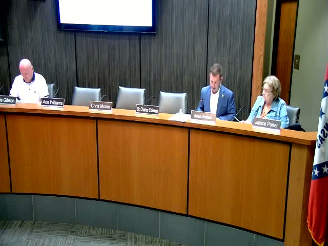
The City of Jonesboro Public Safety Committee on an evening meeting read Ordinance 25 0 25, which would place various traffic signs and set new speed limits on specified local streets, and voted to forward the measure to the full City Council.
Chair read the ordinance aloud, including the provisions "Establishing a speed limit of 25 miles an hour on Flint Street from Thomas Avenue to Dogwood Lane" and "establishing a speed limit of 35 miles an hour on Race Street from Caraway Road to Browns Lane." After the reading, a committee member moved to send the ordinance to full council and the motion was seconded. The chair called for a vote; with no questions or public comment, the motion passed and the ordinance will appear on the council agenda.
The committee did not record a detailed roll-call for this item. The chair said the ordinance followed recommendations from the traffic control committee; no administration spokesperson or member of the public took the floor to object or offer amendments during committee discussion.
What happens next: the ordinance is scheduled to be considered by the full City Council. The committee did not provide a map of the affected segments during the meeting; staff indicated follow-up materials (maps and placement details) may be provided at the council meeting or by request.