Get Full Government Meeting Transcripts, Videos, & Alerts Forever!
Get email alerts on the LRA Fire Hazard Maps topic
No spam. Unsubscribe anytime.
Contra Costa Fire to host April 1 public meeting on new state LRA fire hazard maps
Summary
Chief Bachman and staff demonstrated the district's online LRA map tools and announced a staff-led public meeting on April 1 to take comments; the maps update 2009 layers and show shifted areas of moderate/high/very high hazard that may affect local permitting and defensible-space considerations.
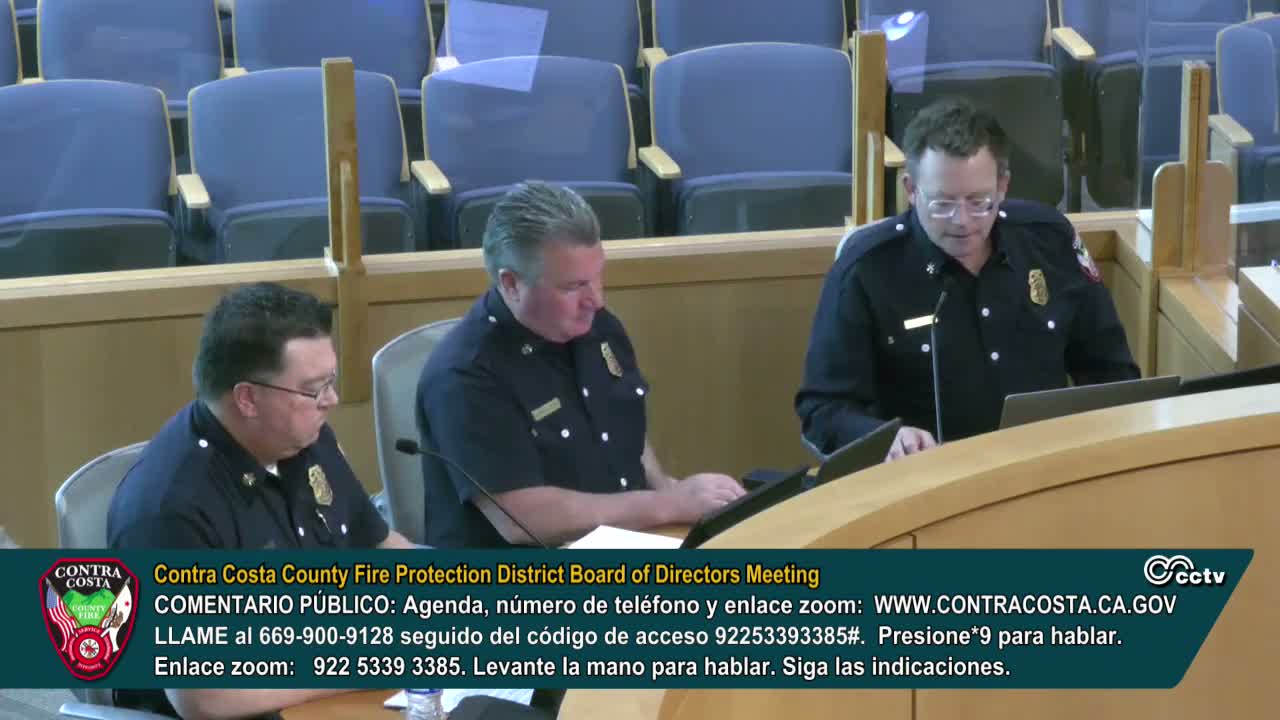
Contra Costa County Fire Protection District staff demonstrated the newly released Local Responsibility Area (LRA) fire hazard maps at the March 11 board meeting and announced a public meeting for April 1 to gather community input.
Chief Bachman showed the district's website LRA page and a GIS "swipe" comparing the 2009 recommended maps and the 2025 proposed maps (Cal Fire-provided GIS layers). He noted the district's LRA page includes a Google form for public comment and PDF map copies by city and said the maps and website were published within 24 hours of the state's release. The April 1 meeting will be staff-led, both in-person and online, and is intended to explain the mapping process, show tools for residents to compare changes, and provide instructions for submitting formal public comment.
Chiefs and board members discussed how cities will reference the county-adopted maps for permitting and development reviews. Chief Bachman clarified that counties and cities generally point to the county-adopted maps in municipal codes rather than adopting identical ordinances; he also explained that state law previously required local agencies only to adopt the 'very high' category, and that the state's new maps include a broader range of hazard categories (moderate, high, very high). The chiefs warned of a regulatory disconnect: local enforcement of defensible space rules can differ depending on whether an area is within state-designated SRA or local jurisdiction, and the board expects follow-up with County Counsel as the adoption process advances.
Chief Richard added that the state fire marshal has emphasized the maps are hazard (not insurance risk) maps and that overlay comparisons with insurance non-renewal and underwriting zones are technically possible but distinct from the statutory LRA framework.