Get Full Government Meeting Transcripts, Videos, & Alerts Forever!
Get email alerts on the Technology topic
No spam. Unsubscribe anytime.
City showcases new GIS parcel, sanitation and stormwater mapping; searchable cemetery database launched
Summary
Staff unveiled online parcel and sanitation maps, an upgraded zoning layer, and plans to map stormwater and public-works assets; a new searchable cemetery database was also demonstrated.
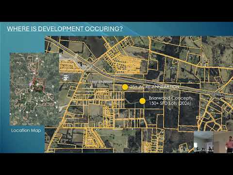
Paul (staff) reviewed recent GIS work funded in the current budget cycle, showing an online parcel map, a sanitation map and an updated zoning layer intended to help developers and residents identify parcel status, annexation and applicable zoning. He said users will be able to click on properties online to view basic information.
Paul described a larger project to map all stormwater infrastructure and public-works assets (bridges, drains, manholes, stop signs and similar items) to create a searchable asset-management database. He also said Jackson had built a new searchable cemetery database with photos and grave information that will replace an antiquated system.
Paul said the tools are already available online and that staff will continue to update layers as changes occur.
Next steps: staff will complete additional layers (stormwater assets) and integrate the database with online public access.