Get Full Government Meeting Transcripts, Videos, & Alerts Forever!
Get email alerts on the Flood Control topic
No spam. Unsubscribe anytime.
Commission approves revised South Bismarck flood-control concept, aims to shrink cost and seek additional funding
Summary
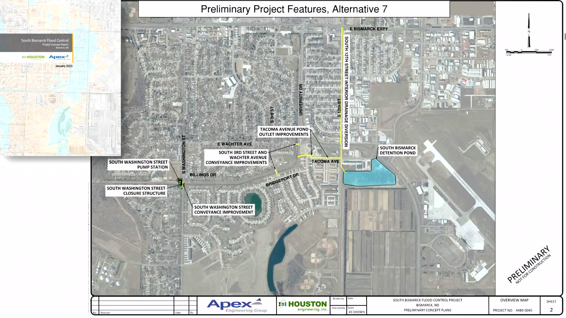
Staff presented alternatives to address FEMA floodplain mapping in South Bismarck and recommended a ditch-centric approach that would rely on city ROW, reduce reliance on airport or expressway ponds, and lower estimated costs from roughly $172 million to about $100 million; the commission approved proceeding with design work and grant strategy.
Public Works presented an update on South Bismarck flood-plain mapping, alternatives analysis, and funding. Staff said FEMA's 2024 mapping added roughly 1,000 structures in South Bismarck to the flood plain and reviewed prior concepts (airport pond and Bismarck Expressway conduit) that raised FAA, DOT, and parkland concerns and drove preliminary cost estimates above $172 million.
Staff described a revised concept that maximizes storage within the city's existing South Bismarck Drainage Ditch right-of-way, replaces several triple-box culverts with bridges to create additional conveyance and storage, and would retain a South Washington Street gate and appropriately sized pump station. That option avoids an airport pond (mitigating FAA bird-strike concerns), reduces impacts to parkland and DOT rights-of-way, and was presented with an updated estimated total cost near $100 million. Staff noted the project has a $50 million FEMA Flood Mitigation Assistance award already in hand and $17 million state appropriation from the recent legislative session; staff will return to the 2027 legislative session to request additional construction funding as needed, and local cost-share requirements will be determined during design.
The commission discussed technical details (drawdown targets, downstream impact thresholds that trigger mitigation, and expected notifications to adjacent landowners if modeled impacts exceed a tenth of a foot). Staff emphasized the project remains engineering-intensive and that some downstream impacts may require mitigation if above statutory thresholds. Commissioners unanimously approved the direction to proceed with the ditch-centric concept and to move to design work and grant fulfillment steps under the FEMA grant timeline.
Next steps: staff will modify the consultant scope to progress to conditional letter of map revision (CLOMAR) and fuller design, pursue additional state legislative funding in the 2027 session, and return with refined cost-sharing and timeline estimates.