Get Full Government Meeting Transcripts, Videos, & Alerts Forever!
Get email alerts on the Growth Phasing topic
No spam. Unsubscribe anytime.
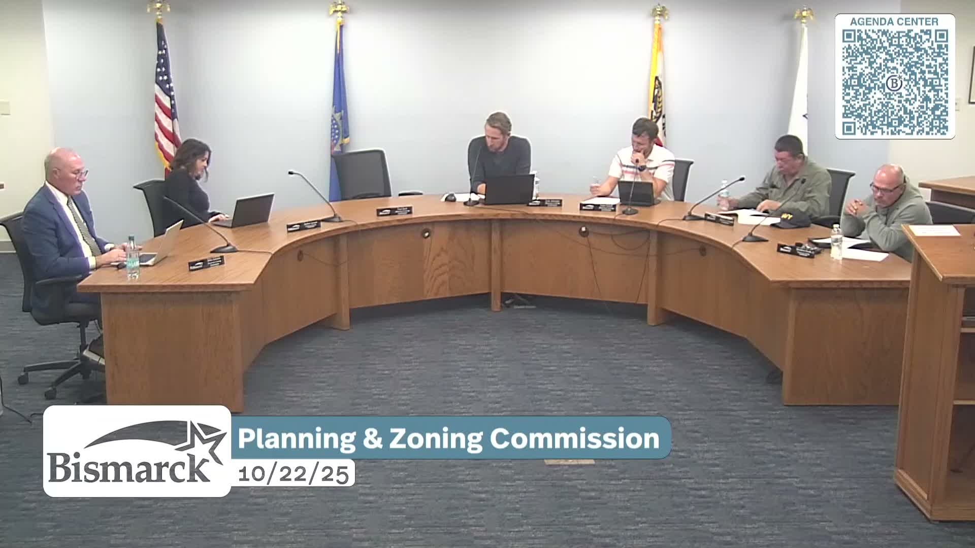
Bismarck planning commission adopts updated 50-year growth-phasing map amid landowner concerns
Summary
The Planning and Zoning Commission approved annual revisions to Bismarck's growth-phasing plan that keep a 50-year urban-reserve horizon; landowners at the meeting urged more notice and questioned the long planning horizon and its impact on property rights.
The Bismarck Planning and Zoning Commission on Wednesday approved annual revisions to the city's growth-phasing plan, including clarifications to urban-reserve and urban-service boundaries and a new airport buffer intended to protect airport operations.
The planning department's presentation, led by Daniel (planning staff), showed the map used to guide where city infrastructure and services could be extended over 25- and 50-year horizons. Daniel said the city has used a 50-year urban-reserve horizon for about 15 years to align long-lived infrastructure investments — such as major water and sewer mains — with anticipated future development.
"When you're making large investments that need many, many years to recoup that return, it is important to ensure we understand what the development will be that will be feeding into that infrastructure," Daniel said, explaining why some areas are shown only as urban reserve beyond the 25-year service horizon.
Several landowners raised objections during the public-comment period. Tamara Untersayer, who identified herself as an owner of undeveloped property in the urban-reserve area, asked why the city was planning 50 years out and said that long horizons restrict what property owners can do. "Why are we in the city of Bismarck planning for 50? That's twice the federal guideline," she said, seeking examples of comparable communities using a similar horizon and expressing concern about limited development options.
Daniel replied that there are no mandatory federal or state guidelines that set the length of local comprehensive-planning horizons and that jurisdictions commonly choose 25 or 50 years depending on their infrastructure and service planning needs. He told the commission and attendees the city posts an interactive map on the planning department section of the city website where residents can check whether an address falls inside the urban service area or urban reserve.
Other public commenters described local impacts of earlier ETA (extraterritorial-area) discussions. Wayne Martinesen asked staff to investigate removing his roughly 110-acre property from the ETA; Daniel said staff were aware and would look into possible adjustments. Karen Bonnet warned staff about a spring near Silver Nagle Drive and thanked the commission for being mindful of rural-property differences when mapping ETA boundaries.
The commission voted to recommend approval of the growth-phasing amendments; City Commission and Burleigh County discussions on ETA boundary negotiations may still lead to changes, Daniel said. The planning staff noted the map was used as the basis for ETA negotiating and that the higher-level legal jurisdiction decisions remain with city and county commissions.
The commission also noted the city maintains an interactive ETA map on its website for property owners to check their status. The amendments move to the City Commission for final action; no specific implementation dates were set at the meeting.