Get Full Government Meeting Transcripts, Videos, & Alerts Forever!
Get email alerts on the Traffic Safety topic
No spam. Unsubscribe anytime.
Crafton planning commissioners push for local traffic-safety mapping after state data raises questions
Summary
Commissioners reviewed preliminary state crash data showing concentrations along Steubenville Pike and Ingram Avenue, agreed to pursue a verified GIS mapping exercise (likely via an intern) and explore grant or engineering support to guide safety improvements.
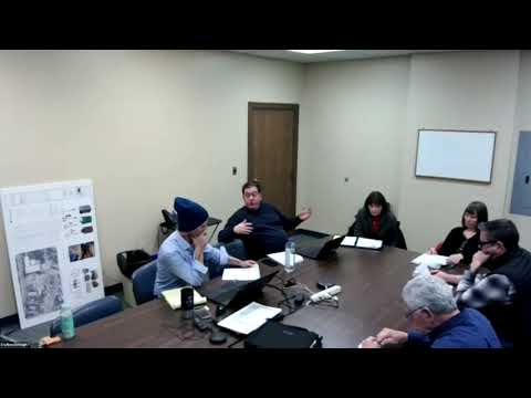
The Crafton Planning Commission on Jan. 27 said it will pursue a localized traffic-safety mapping effort after reviewing preliminary state crash data that appeared to misattribute locations and obscure local patterns. Commissioners framed the work as an evidence-building step to guide grant-seeking and small engineering fixes rather than an immediate commitment to capital spending.
The meeting opened with a presentation of an informal dataset the chair described as “not certified” and containing location coding inconsistencies the presenter said likely stem from changes in how the state records incident locations. The presenter noted a total of 116 incidents in the dataset as presented and identified apparent concentrations along Steubenville Pike (Route 60) and Ingram Avenue, including clustering near the shopping-center/ Grafton Boulevard intersection. The presenter said the borough is “not on that side of the river” where some incidents were wrongly mapped and recommended local data-cleaning and geocoding verification.
Commissioners agreed the next step should be a verified, locally produced map. Rhiannon (commissioner) urged using an intern with GIS skills to verify locations and plot incidents; she said the borough has previously hosted interns for mapping/trails work. “This seems like an awesome project for an intern to flex their GIS and data skills,” Rhiannon said during discussion.
Commissioners discussed the limits of small-sample statistics and the need for technical oversight from a traffic engineer or urban designer. One commissioner noted that when incident counts are disaggregated to the intersection level the events often appear as “onesies and twosies,” which complicates efforts to draw statistically robust conclusions without engineering review. Commissioners suggested pairing the intern’s mapping with guidance from a traffic engineer or exploring PennDOT multimodal grants to fund a larger ‘complete streets’ study.
The group discussed combining local anecdotal reporting (police and business reports) with verified data. The presenter cited examples from a police officer and a local auto-body shop owner who reported multiple vehicles recovered at a single intersection in recent months; commissioners noted those local reports likely exceed the incidents recorded in the state database and recommended a brief resident survey to capture unreported concerns.
Next steps recorded during the meeting: add limited scope language to an intern application (staff indicated an application deadline was imminent), seek technical guidance about possible contract add-ons with the borough engineer or an external traffic consultant, and explore grant options for a planning study that would identify priority pedestrian and bicycle-safety improvements. Commissioners said they expect to revisit progress at the next monthly meeting.
The presentation and discussion were framed repeatedly as exploratory; no formal policy or budget decision was made. The commission did not adopt any capital projects at the meeting but agreed to pursue mapping and technical validation as preparatory steps for future grant applications.