Council approves vesting tentative tract map for 298‑unit Harvest condominium project
Get AI-powered insights, summaries, and transcripts
Subscribe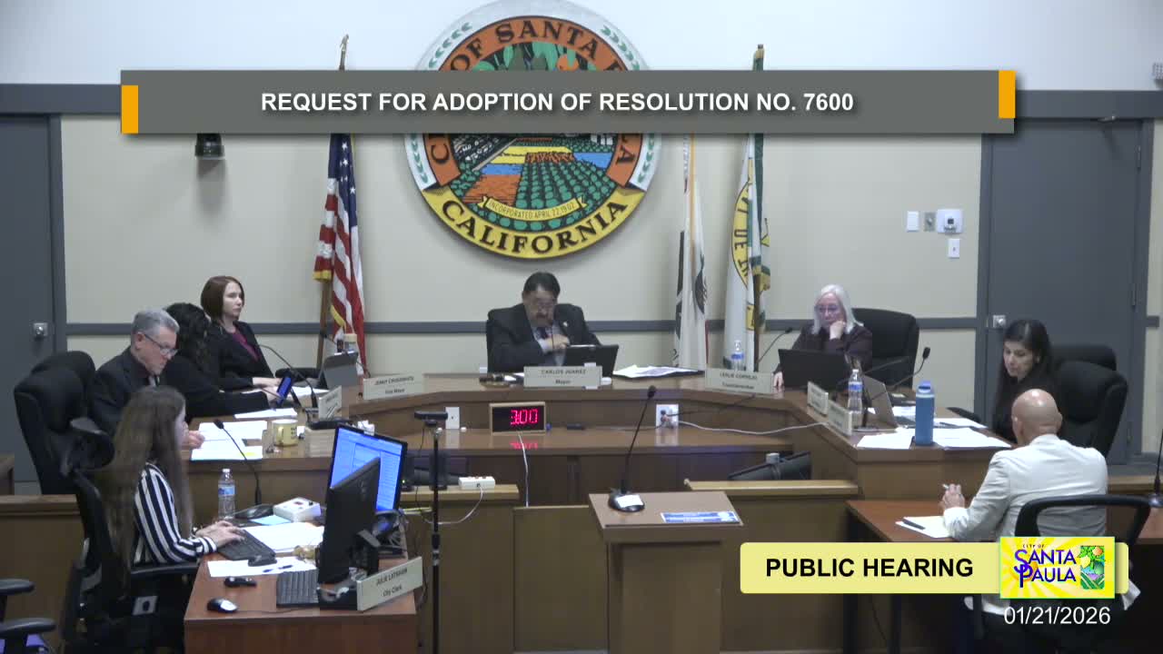
Summary
The council adopted Resolution No. 7,600 approving vesting tentative tract map 6091 for a 17.96‑acre Harvest development that will create 298 condominium units and mixed‑use elements; staff found the project consistent with the East Area 1 Specific Plan and CEQA addendum.
Santa Paula — The City Council voted Wednesday to adopt Resolution No. 7,600 and approve vesting tentative tract map 6091 for the Harvest Luminary project, clearing the way for a 17.96‑acre, 298‑unit condominium development in the East Area 1 specific plan area.
Planner Daniela Bonilla and Community Development Director James Mason presented the project, which proposes 298 residential condominium units (including duplexes, townhomes, live‑work units and mixed‑use units), seven common buildings, community amenities (clubhouse, pool, fitness facilities) and roughly 3,848 square feet of commercial space. Unit sizes range from roughly 1,176 square feet to 2,108 square feet in the design schematic presented to council.
Staff concluded the project conforms to the East Area 1 Specific Plan’s Halleck Center district standards (setbacks, height, landscaping and parking) and that the existing environmental analysis (2008 certification and the 2015 plan, with addendum No. 4) covers the project without requiring a subsequent environmental impact report. The map merges three existing lots and establishes ten lettered lots for private streets and landscaping.
Council clarified the site location (between Texas Lane/railroad corridor and the new regional sports park) and confirmed the planned bridge and roadway connections. Councilmember Nelis moved adoption of the resolution; Vice Mayor Crosswhite seconded and the motion carried. Staff will proceed with required conditions of approval and subsequent ministerial or administrative design‑review steps.
Developers and staff will continue work on final engineering, permit approvals and the recordation process required to implement the map. Council discussion noted the project’s scale relative to adjacent developments and emphasized coordination with infrastructure projects (the new bridge and park) and neighborhood outreach.