Get Full Government Meeting Transcripts, Videos, & Alerts Forever!
Get email alerts on the Land Use Pdd topic
No spam. Unsubscribe anytime.
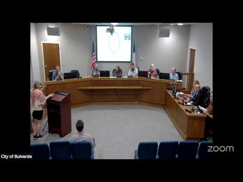
Bulverde council disapproves 329‑acre Macquarie Ranch PDD after residents cite drainage, trees and traffic concerns
Summary
Bulverde City Council voted 4–0–1 to disapprove a proposed planned development district (PDD) for roughly 329 acres north of Highway 281 after residents and councilmembers raised unresolved concerns about drainage, riparian encroachments, tree removal and emergency‑service access. The developer can reapply or return with conditions.
Bulverde — The City Council voted to disapprove a proposed planned development district for roughly 329 acres north of U.S. Highway 281, citing unresolved technical questions about drainage, tree preservation and neighborhood compatibility.
The motion to deny carried 4–0–1 after more than two hours of public comment and council debate. Council members said they had not received sufficient engineering and environmental detail — including a tree inventory covering all disturbed areas and an independent, site‑specific drainage analysis — to justify the number and scale of variances the developer requested.
Planning staff told the council the commission recommended approval with conditions after the applicant revised the plan several times. The applicant said the revisions reduced impacts, added a targeted tree survey and proposed a stormwater retention and water‑quality approach. The development team described plans for one‑acre and half‑acre lots intended to preserve open space and to include on‑site sewer and drainage infrastructure.
Residents repeatedly told the council the project would increase downstream flooding and that the application included extensive requests to relax steep‑slope protections and tree‑preservation rules. One resident warned of ‘‘massive sections of flood’’ that already close local roads during heavy rain and asked whether allowing more impervious cover would worsen the problem.
Council members focused their questions on three areas: (1) the absence of a complete tree survey covering all proposed disturbance areas, (2) the need for clearer metric‑based drainage modeling that tracks downstream impacts to Johnson Way and other neighborhoods, and (3) the enforceability of proposed riparian‑buffer encroachments once residential lots are sold.
The applicant, who said the team had conducted multiple tree inventories and a preliminary drainage analysis to standards used for the planning stage, offered to return with more detailed studies and ordinance language to create enforceable protections. City staff told the council they could require additional materials or phase the approvals but stressed that the normal platting process also requires more detailed drainage studies that are reviewed by the city’s third‑party engineer.
With the vote, the council closed the matter at the meeting. Staff and the developer may pursue one of several routes — a revised submittal, additional studies directed by council, or a return to the planning commission for renewed recommendation — but no new permitting occurs as a result of the decision.
The council’s decision leaves unresolved questions about how the city will balance large‑scale residential development with its tree‑preservation and drainage standards in areas of steep topography and existing downstream flood risks.