Get Full Government Meeting Transcripts, Videos, & Alerts Forever!
Get email alerts on the Land Use topic
No spam. Unsubscribe anytime.
Planning commission approves Hickory Grove land‑use and mobility changes to clear path for multifamily
Summary
The Denton Planning & Zoning Commission voted to approve a comprehensive plan amendment, a mobility map revision and a rezoning to allow multifamily development on a 16.5‑acre tract near US‑380 tied to the Legends Ranch (Hickory Grove) MUD; commissioners asked staff for broader corridor planning and safety analysis before more piecemeal changes.
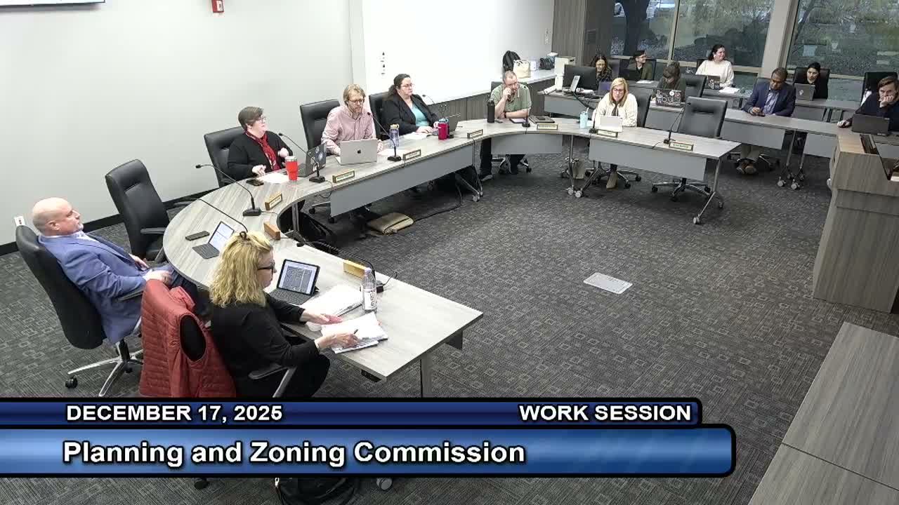
The Denton Planning and Zoning Commission on Dec. 17 recommended that City Council approve three related applications that would allow multifamily development on about 16.5 acres north of University Drive near US‑380.
Senior planner Mia Hines told the commission the package — a comprehensive plan amendment to change the future land‑use designation from Agriculture to Regional Mixed Use, a mobility (thoroughfare) map amendment to remove a proposed primary arterial, and a straight rezoning from RR/R2 to MR — is intended to align the property with prior approvals in the Legends Ranch/Hickory Grove municipal utility district and to support anticipated multifamily units. “These requests are intended to entitle the property for anticipated multifamily development,” Hines said during the presentation.
Why it matters: Staff said the requested changes reflect regional growth patterns and nearby approvals in the municipal utility district, and that removing the proposed arterial avoids cutting through an environmentally sensitive floodplain area while still leaving adequate collector connections via planned improvements by the MUD and developer‑funded collector roads. The commission’s deliberations focused largely on traffic safety, the order of planning steps, and the desire for a more holistic corridor plan before approving more isolated comp‑plan changes.
What commissioners said: Commissioners pressed staff about the history (how the MUD and annexation led to the current status), floodplain mapping and whether future development would generate enough roadway capacity. Commissioner Riggs argued the project was consistent with prior approvals and moved to recommend approval; Commissioner McDuff and others urged a broader corridor analysis. Chair Prewitt said she was concerned about safety and the potential to replicate the East‑side 380 corridor pattern.
Public input and applicant timeline: An applicant representative, Trey Sullivan of D.R. Horton Multifamily, said the parcel was originally entitled for multifamily and that the company plans phased construction; phase timing depends on civil approvals and TxDOT coordination. Staff said required notices went to property owners within 200 feet and courtesy notices to residents within 500 feet and that no public comments were on file as of the report.
Commission votes and next steps: The commission approved the comprehensive plan amendment by a 4–2 vote, approved the mobility plan amendment 6–0, and approved the rezoning 5–1. Several commissioners asked staff to pursue a broader West US‑380 corridor planning effort and to circulate traffic and fiscal materials to the commission; staff said grant applications are under way to fund comp‑plan and mobility updates. The decisions are recommendations to City Council, which will take final action.