Athens‑Clarke County commission holds future land use map after heated public debate over affordability and parcel‑level listing
Get AI-powered insights, summaries, and transcripts
Sign Up Free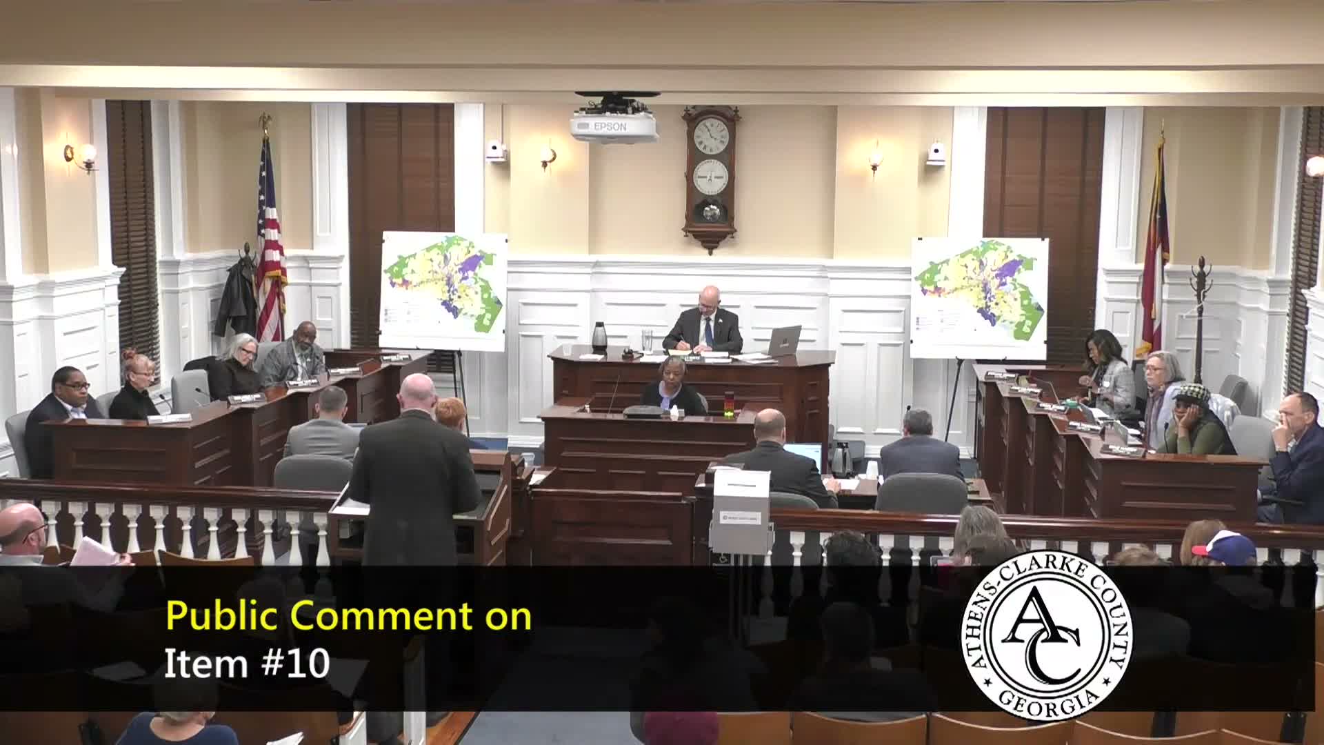
Summary
After hours of public comment and commissioner questions about parcel‑level listings and infrastructure capacity, the commission voted Feb. 3 to hold the proposed future land use map until April to allow more community review and to align the map with the forthcoming service delivery plan.
The Athens‑Clarke County Mayor and Commission voted Feb. 3 to delay final action on a proposed future land use map after residents and commissioners pressed for more time to review parcel‑level changes and to coordinate the map with sewer and water capacity plans. The commission moved and seconded a motion to hold the item until April for additional public review and staff analysis.
The proposal — developed by a two‑year steering committee and forwarded by the planning commission — would redraw generalized future‑use categories across the county to guide where the city expects growth. Steering‑committee chair Alex Sams told the commission the map "sets the table" for future zoning decisions and is not itself zoning: "Zoning is more of what you're eating, the ingredients that go into the food. These are not the same things," he said, urging the commission to treat the map as guidance rather than a parcel‑level mandate.
Many residents urged changes or warned against unintended consequences. Diana Weiss, a member of the Young Democrats UGA chapter, said the plan should include stronger affordable‑housing tools and pointed to local housing stress: "The poverty rate in Athens is 26%... market rent is more expensive than 92% of the state," she said, urging incentives for inclusionary development. Edward Kelly and other speakers said the map, as currently presented, could facilitate outside investors transforming single‑family neighborhoods into high‑bedroom rentals.
Commissioners debated both process and substance. Commissioner Johnson cited guidance from the Georgia Department of Community Affairs (DCA) that parcel‑level specificity in future‑use maps is atypical and can blur the line between planning and enforceable zoning, noting such itemization can effectively pre‑commit rezoning outcomes. Several commissioners asked staff for district‑by‑district PDFs and clearer tools so they can inspect proposed changes at parcel scale without overburdening staff. Commissioners also emphasized the need to overlay the future land use map with the county's service delivery plan (sewer and water capacity) before final action.
Mayor and staff framed the map as one layer of planning work that must be combined with zoning and infrastructure planning. Attorney Drake read ordinance language to formalize the hold until April; the motion carried by voice vote.
Next steps: the commission directed staff to provide district‑level map PDFs, coordinate with the service delivery plan and prepare materials that clarify how the future land use designation differs from zoning. The commission expects the item to return for further public input and a final vote in April.