Get Full Government Meeting Transcripts, Videos, & Alerts Forever!
Get email alerts on the Flood Mitigation topic
No spam. Unsubscribe anytime.
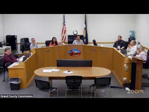
Grand County posts LiDAR request for proposals to update flood mapping after 2022'24 storms
Summary
Emergency management posted an RFP to acquire updated LiDAR topography using state disaster-recovery funds to improve Mill Creek flood mapping, storm-drain planning and an automated flood-warning system.
Grand County's Emergency Management Director Cora Phillips presented a request-for-proposal (RFP) to acquire updated LiDAR topographic data using the state Local Disaster Recovery restricted account following severe storms and flooding in 2022'24. Phillips said the last LiDAR flight for the area was completed in 2018 and multiple subsequent flood and runoff events have altered channels and flood risk.
The improved LiDAR will allow staff to analyze lateral and vertical channel changes in the Mill Creek watershed, update the county storm-drain master plan, prioritize wildfire fuel mitigation, and feed a more precise, location-based flood-warning system that combines weather radar and real-time sensors to generate focused advisories for Moab neighborhoods.
Commissioners discussed match requirements and benefits; staff noted a 25% local match and described broad multi-department uses. The commission moved and unanimously approved posting the LiDAR RFP to public notice sites and pursuing the state funds.
Emergency management said the LiDAR will better inform capital projects and long-term mitigation planning and is expected to support future grant applications.