Get Full Government Meeting Transcripts, Videos, & Alerts Forever!
Get email alerts on the Future Land Use topic
No spam. Unsubscribe anytime.
Commission debates future land‑use map, floodplain and cross‑jurisdiction coordination
Summary
Commissioners reviewed the draft future land‑use map and implementation chapter, raised concerns about areas mapped commercial that may be impractical due to railroad crossings and floodplain, and directed staff to coordinate with Pennington County, Meade County and Rapid City and to improve map graphics before the next public review.
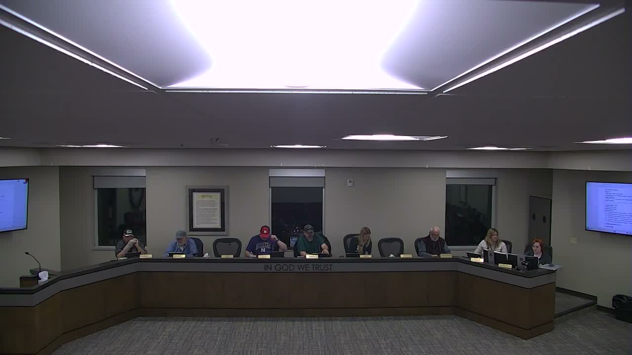
Box Elder — Commissioners and staff spent substantial time on the comprehensive plan’s future land‑use map, focusing on whether areas shown as commercial or industrial remain appropriate given ground conditions, railroad crossings and floodplain concerns.
Michelle (city planner) said the map updates reflect anticipated growth corridors and that staff and the consultant Tallgrass had sought a balance between mixed‑use and purely residential designations. Several commissioners questioned specific map areas: one commissioner said a swath mapped commercial south of the railroad and near Northern Lights Boulevard “is not logical” given the current railroad alignment, nearby storage units and a large detention pond, and suggested that much of the area should be designated residential or conservation instead. Another commissioner flagged legend and color inconsistencies across pages, recommending higher‑quality graphics or a separate page for key graphs.
Commissioners also discussed floodplain issues in a zone labeled Liberty Plaza, where staff noted existing water flow and pooling; several commissioners suggested conservation rather than residential in that pocket to avoid recommending development in known flood‑prone areas. Staff said state law does not require a future land‑use map but that the city uses it to guide long‑range planning; staff said they will coordinate with Pennington County, Meade County and Rapid City and will route the draft to utilities and external stakeholders for comment before the next public meeting.
The commission asked staff to revise map graphics (improve legends and image resolution), revisit the commercial/residential boundary near the railroad crossings, and incorporate a utility and stakeholder review before returning the map to the commission (staff indicated an anticipated update around April 22).