Get Full Government Meeting Transcripts, Videos, & Alerts Forever!
Residents press Lafayette council to reject or reshape 'The Range' sketch plan amid traffic, height and open‑space concerns
Summary
A large public hearing on the Range at Lafayette sketch plan drew hours of testimony. Residents criticized building heights, parking, traffic and the developer’s proposed public land dedication; councilors largely backed staff requests for more mixed‑use integration, public streets, fewer surface parking spaces and stronger affordable‑housing commitments.
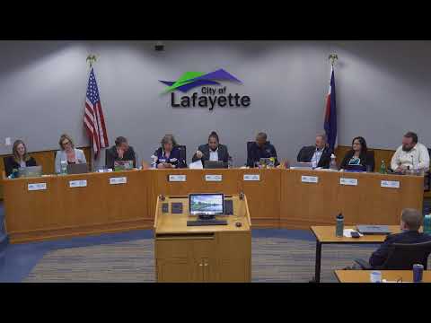
City of Lafayette — The City Council received a lengthy public hearing on a sketch plan for The Range at Lafayette, a 36.24‑acre mixed‑use proposal at the southwest corner of Arapahoe Road and U.S. 287, with developers seeking annexation, zoning and multiple variances.
Planning director Steven Williams, who opened the staff presentation, said the sketch stage is advisory and not a final decision, and listed six topics for council feedback including zoning, comp‑plan alignment, building heights, the commercial/residential mix, housing affordability and public‑land dedication. The applicant, Edgar Crockett of Kensington, described a plan that includes about 448 residential units, approximately 157,000 square feet of commercial space, two committed retail anchors and a commitment that 12% of the multifamily units (41 units) would be deed‑restricted at 80% of area median income.
Why it matters: The site sits in Lafayette’s urban growth boundary and is governed by a 2019 intergovernmental agreement with Erie that calls for comparable anchor tenants on both sides of the highway; it is also planned in the city’s comprehensive…
Already have an account? Log in
Subscribe to keep reading
Unlock the rest of this article — and every article on Citizen Portal.
- Unlimited articles
- AI-powered breakdowns of topics, speakers, decisions, and budgets
- Instant alerts when your location has a new meeting
- Follow topics and more locations
- 1,000 AI Insights / month, plus AI Chat