Get Full Government Meeting Transcripts, Videos, & Alerts Forever!
Get email alerts on the Comprehensive Plan topic
No spam. Unsubscribe anytime.
Box Elder planning commissioners begin chapter‑by‑chapter review of comprehensive plan update
Summary
The planning commission reviewed a draft comprehensive plan and future land use map, heard that 83% of 2014 plan goals were completed, and agreed to a chapter‑by‑chapter review schedule aimed at an April council recommendation.
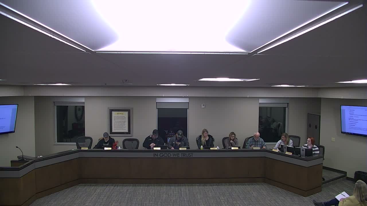
Box Elder planning commissioners spent the bulk of their Jan. 27 meeting reviewing a draft comprehensive plan and the city’s updated future land use map, hearing staff and consultant presentations and setting a tentative schedule for detailed chapter reviews.
Tanya, a consultant from Tallgrass, told the commission the city’s 2014 comprehensive plan was not a “shelf” document and that a recent audit found “83% of those goals were completed.” Michelle Clavadach, the city’s planner, said the new draft adds categories — restricted residential, restricted commercial and restricted industrial — to flag areas affected by accident potential zones and to make constraints clearer to developers and reviewers.
Commissioners heard that public engagement included a survey that drew about 400 responses and identified five foundational themes: affordable housing; diverse economic vitality; community well‑being and engagement; nature‑integrated recreation such as trails and sidewalk connectivity; and prioritizing sustainable infrastructure. Staff said the plan also incorporates the U.S. Air Force “5 and thrive” quality‑of‑life goals (child care, education, health care, housing and spouse employment) because Box Elder is a military community and the presence of Ellsworth Air Force Base influences some planning considerations.
Clavadach highlighted two technical features of the map: visual markings for accident potential zones and concentric 1‑mile and 3‑mile radius lines around current city limits, which staff said will guide different expectations for subdivision and annexation. “Those are the properties that are more likely to annex in the next few years,” a staff member said, explaining why standards inside the 1‑mile line may be stricter.
The commission discussed land‑use patterns around Highway 1416 and Interstate 90, with staff and the consultant describing that corridor as suitable for industrial or light‑industrial uses because of limited pedestrian crossings and existing truck access. Commissioners also reviewed visual precedent images for Liberty Boulevard and Liberty Plaza, which staff described as renderings intended to show developers how shared parking and walkable design could yield more compact, pedestrian‑friendly development than large single‑use buildings and surface parking.
Rather than seek immediate action, staff proposed a paced review schedule so commissioners could examine a few chapters per meeting: chapters 1–2 on Feb. 10; chapters 3–5 on Feb. 25; chapters 6–8 on March 11; chapter 9 and implementation on March 25; and a final planning commission review and recommendation on April 8. Staff said a formal recommendation to the city council is targeted for April but the schedule is tentative.
The commission accepted the plan introduction and the review timeline and asked staff to provide clearer digital and printed map materials for future meetings. The planning commission plans to return to chapters 1 and 2 at its Feb. 10 meeting, with the planner Michelle Clavadach presenting the future land use map in more detail.
The planning commission did not vote to adopt any policy changes at the Jan. 27 meeting; the session was a review and scheduling discussion.