Get Full Government Meeting Transcripts, Videos, & Alerts Forever!
Get email alerts on the Land Use topic
No spam. Unsubscribe anytime.
Council tables revisions to self‑storage rules to get clearer setbacks and definitions
Summary
After lengthy discussion about allowable locations, setbacks and definitions for self‑storage facilities, West Haven city planning staff were asked to return with maps and clearer definitions; the council voted to table the ordinance to allow that work.
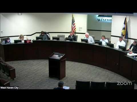
The West Haven City Council on Jan. 21 tabled proposed revisions to the city’s land‑use code that would change where and how self‑storage facilities may be built.
Planning staff presented an ordinance that would rename and clarify terms (storage unit, self storage facility, open self storage), make self‑storage a permitted use in M1 and M2 zones (while excluding mixed‑use and C1–C3 commercial zones), and change a broad geographic prohibition from “south of 4000 South” to “south of 3300 South.” The draft also proposed new setbacks: 100 feet from typical rights‑of‑way and 250 feet from listed major corridors (19 Hundred West, 2100 South, Wilson Lane, 2550 South and 3300 South).
Council members raised concerns about the 250‑foot corridor setback and asked staff to show examples and diagrams. One council member pointed to a nearby facility with about 450 feet from curb to building and proposed a 400‑foot setback; others said they wanted maps and site examples before choosing a standard.
Staff also clarified design rules, enforcement (nuisance code fallback) and that enclosed, climate‑controlled multi‑level storage (like Sunset or U‑Haul style facilities) would still be treated as self‑storage under the proposed definition and subject to the same setbacks. Staff recommended tabling the ordinance so they could refine the definition of “open self storage,” examine examples around the city, and bring back diagrams showing the 250 vs. 400‑foot options.
The council moved and voted to table Ordinance 03‑2026 and requested staff return with maps, photos and revised language that tighten the open‑storage definition and clarify measurement (right‑of‑way boundary vs. centerline).