Get Full Government Meeting Transcripts, Videos, & Alerts Forever!
Get email alerts on the Land Use topic
No spam. Unsubscribe anytime.
Council approves Donaldson property rezone, conditions boundary adjustment
Summary
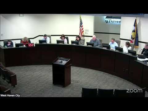
The West Haven City Council approved Ordinance 13‑2025 to rezone parcels owned by Paul Donaldson at 2700 West/2800 South from A1/A2 to R2, conditioned on recording a boundary adjustment to align zoning and legal descriptions; one council member voted no.
The West Haven City Council on Dec. 17 approved Ordinance 13‑2025, a rezoning of parcels owned by Paul Donaldson at 2700 West and 2800 South from agricultural designations (A1/A2) to R2 residential zoning, contingent on the applicant recording a boundary adjustment to match the proposed zoning boundary.
Mayor Vanderwood introduced the item as the council considered planning-commission recommendations. Jared Payne, an employee of Fieldstone Homes, told the council the site is about 25.83 acres with substantial wetlands in low-lying areas and an elevated portion without wetlands. Payne said the developer intends to study wetlands in spring mitigation work and to avoid disruption where possible; he also said the team would provide traffic studies and safe ingress/egress approaches “and if if a traffic memo is required, we’re happy to do that as well and follow ordinance.”
Council members raised questions about access and buffering. One councilor pressed whether a second access would require crossing wetlands; Payne said mitigation work in April would determine what is allowable and that they would aim to avoid disrupting wetlands, adding that at worst “we can use up to a quarter acre if need be” for access. Staff and council discussed minimum lot sizes for lots adjacent to A1/A2 zones: the code requires contiguous lots to be a minimum of 17,000 square feet.
Planning staff noted the property’s maximum theoretical density under R2 could reach about two units per acre if all development constraints were met; staff emphasized practical reductions for roads, stormwater, wetlands and lot-size minimums. The planner also recommended a condition to align the legal description with the proposed zoning boundary for administrative clarity and recordation.
Councilor (Speaker 4) moved to approve Ordinance 13‑2025 with the condition that the applicant record a boundary adjustment to match the proposed zoning boundary; the motion was seconded. On roll call the motion carried with recorded 'Aye' votes and one 'No' from Council member McCall.
The ordinance approval is conditioned on completing the boundary adjustment and recording it with the county as described by staff. The council moved on to subsequent agenda items.