Get Full Government Meeting Transcripts, Videos, & Alerts Forever!
McHenry County TAC debates 'simplified method' to let small projects skip full stormwater detention analysis
Summary
County staff proposed a GIS-backed ‘simplified method’ that would let small impervious-area projects qualify for an exemption if modeled increases at the outfall are below a small threshold; the Technical Advisory Committee debated thresholds (½ acre vs 1 acre vs percent-of-parcel), buffer setbacks, and when engineers must still be required.
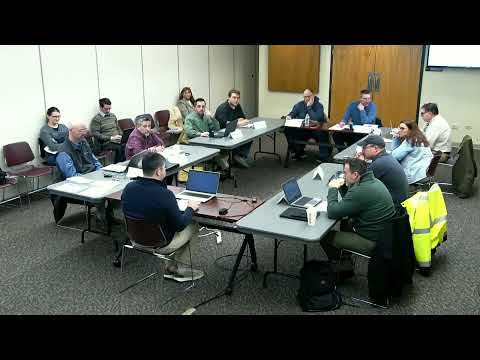
County staff presented a draft runoff-rate reduction policy to the McHenry County Technical Advisory Committee on Feb. 5 that would allow limited exemptions from detention requirements if downstream water-surface elevations increase by no more than one-tenth of a foot and modeled peak flows stay below simple thresholds.
The presenter (staff member who led the TAC packet review) told members the stormwater commission liked the concept and sent it to TAC to confirm technical details. Staff walked through modeling examples showing that for a standard 24-inch culvert a roughly 1 cubic-foot-per-second (CFS) increase approximates the one-tenth-of-a-foot threshold; for swales the comparable figure was about 2.25 CFS. The presenter said the county favors a ‘simplified method’ that a landowner or consultant can use online — click to identify the tributary area, auto-populate time-of-concentration from LiDAR, and get a yes/no determination — but acknowledged limits to spreadsheet-based critical-duration…
Already have an account? Log in
Subscribe to keep reading
Unlock the rest of this article — and every article on Citizen Portal.
- Unlimited articles
- AI-powered breakdowns of topics, speakers, decisions, and budgets
- Instant alerts when your location has a new meeting
- Follow topics and more locations
- 1,000 AI Insights / month, plus AI Chat