McHenry County TAC debates 'simplified method' to let small projects skip full stormwater detention analysis
Get AI-powered insights, summaries, and transcripts
Subscribe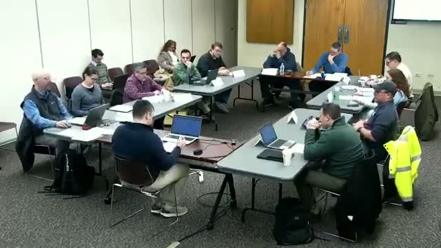
Summary
County staff proposed a GIS-backed ‘simplified method’ that would let small impervious-area projects qualify for an exemption if modeled increases at the outfall are below a small threshold; the Technical Advisory Committee debated thresholds (½ acre vs 1 acre vs percent-of-parcel), buffer setbacks, and when engineers must still be required.
County staff presented a draft runoff-rate reduction policy to the McHenry County Technical Advisory Committee on Feb. 5 that would allow limited exemptions from detention requirements if downstream water-surface elevations increase by no more than one-tenth of a foot and modeled peak flows stay below simple thresholds.
The presenter (staff member who led the TAC packet review) told members the stormwater commission liked the concept and sent it to TAC to confirm technical details. Staff walked through modeling examples showing that for a standard 24-inch culvert a roughly 1 cubic-foot-per-second (CFS) increase approximates the one-tenth-of-a-foot threshold; for swales the comparable figure was about 2.25 CFS. The presenter said the county favors a ‘simplified method’ that a landowner or consultant can use online — click to identify the tributary area, auto-populate time-of-concentration from LiDAR, and get a yes/no determination — but acknowledged limits to spreadsheet-based critical-duration hydrograph methods used by engineers.
Why it matters: proponents said the approach would reduce costs and speed permitting for smaller projects, especially in agricultural areas, while preserving safeguards for downstream flood risk. Opponents and some engineers warned that changing from a simple, fixed-rate standard to one that factors in existing conditions increases calculation complexity and could alter the marketability of parcels or be gamed by parcel splitting.
Key points from the meeting: - Thresholds and caps: Members debated keeping the existing half-acre detention trigger for most sites, allowing 1-acre exemptions on large agricultural tracts (20–40 acres or greater), or basing allowance on a percent of the parcel (2–5% suggested). One committee member proposed setbacks (example suggestions included 500 feet from property lines or tiered buffers tied to impervious area) to limit edge placement of impervious surfaces.
- Role of engineers: Staff said the simplified method would be the first screen; if a proposed site fails the simplified calculations, a licensed engineer could prepare a site-specific analysis to demonstrate minimal flood risk and still qualify for an exemption. That dual-path approach preserves technical rigor while offering a lower-cost path for straightforward projects.
- Tool and method choice: The presenter said TR-20/TR-55 hydrograph methods used to produce critical-duration results cannot be readily reproduced in a simple spreadsheet for local rainfall distributions. As a practical alternative, staff will test a rational-method surrogate or a modified rational approach and promised to return to TAC with comparisons. The county plans to work with GIS to produce a public-facing, click-to-analyze tool that would supply tributary area and time-of-concentration inputs.
- Agricultural and solar-farm concerns: Farmers and some members raised cases where existing tile systems, railroad crossings, or beaver blockages complicate modeling. Staff emphasized that the exemption would not remove the need in some cases for engineering analysis and that enforcement staff could request additional data where downstream concerns exist.
Next steps: Staff will run comparison scenarios using rational-method analogs, refine buffer/setback language and thresholds (staff said they will draft one-acre language and a proposed buffer for committee review), and explore the GIS tool feasibility before formally proposing ordinance language to the stormwater commission.
Sources and attributions: Direct quotes in this article come from the meeting transcript and are attributed to meeting speakers by the generic labels used in the record where speaker names were not given; 'Tracy' was identified by name in the transcript and is quoted when speaking on threshold adjustments.
Ending: TAC agreed to keep the March meeting on March 5 for now, asked staff to run additional model comparisons and draft specific ordinance language, and to return with GIS/tool status and a refined proposal for formal consideration.