Get Full Government Meeting Transcripts, Videos, & Alerts Forever!
Get email alerts on the Lennar 46 Lots topic
No spam. Unsubscribe anytime.
Council approves Lennar land‑use amendment and rezoning for 46 single‑family lots after lengthy public comment
Summary
Council approved a comprehensive‑plan amendment and rezoning to enable a Lennar proposal for 46 single‑family lots (about 12 developable acres of a roughly 20‑acre site), following detailed presentations, extensive resident concerns about wetlands, traffic, utilities and potential land‑locking, and staff assurances that delineation and utility extension will be addressed in preliminary platting.
The Lakeville City Council approved a comprehensive-plan amendment and zoning-map amendment that will allow Lennar to pursue a preliminary plat for a proposed 46‑lot single‑family community.
Steve Trotsky, representing Lennar (SEG 958), told the council the proposal is for 46 single‑family lots on roughly 20 acres, of which staff estimates about 12 acres are developable due to wetlands. Trotsky said Lennar expects a density of 3.88 units per acre under the proposed Low–Medium Density Residential designation and plans single‑family detached homes (no duplexes or townhomes), generally on 55‑foot wide lots with two- and three‑car garages. He said product pricing is likely to begin in the mid‑to‑mid‑high $400,000s but cautioned final pricing is subject to engineering and market review.
City staff explained the amendment is being submitted to the Metropolitan Council for administrative review because the site is under the 40‑acre threshold for the council’s more extensive review. Staff said a preliminary plat would follow and would address wetland delineation, wetland buffers, stormwater, tree preservation and necessary utility extensions.
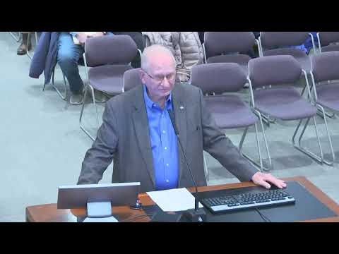
Many nearby residents spoke during public comment, raising concerns recorded across multiple segments: notification to Scott County residents, whether the developer owned all parcels included in planning materials, how wetlands and water corridors have changed over time, the accuracy of wetland mapping, possible land‑locking of neighboring parcels, traffic and emergency‑response impacts, and whether the school district can absorb new students. Several residents asked that the planning commission and the Park, Recreation and Natural Resources Committee review wetlands and tree-preservation details before council approval.
City staff and the city engineer clarified that wetland delineations for properties to the north had not yet been completed and that delineations must be performed by a certified delineator; staff offered to meet with residents and said the city’s ordinance requires developers to extend utilities to property boundaries during platting so utilities would become available to adjacent parcels when platting occurs.
After council discussion, including questions about how the Metropolitan Council density standard applies and assurances that preliminary platting would address concerns about access and utilities, a councilmember moved to adopt findings and approve the comprehensive‑plan and zoning amendments (SEG 1745). The motion passed by roll‑call vote (SEG 1751–1758). Councilmembers said they would follow up with the developer and adjacent property owners to ensure access and delineation issues are addressed during subsequent steps.
The approval is for the land‑use and zoning changes; any engineering, wetland delineation, stormwater design and street or utility alignments will be subject to future review during the preliminary and final plat processes.