Get Full Government Meeting Transcripts, Videos, & Alerts Forever!
Get email alerts on the Environment Land Use topic
No spam. Unsubscribe anytime.
Planning staff outline critical‑areas update and propose compromise wetland buffers
Summary
Planning staff told council that updated state science would set minimum wetland/stream buffers at 100 feet, with site-specific tree-height models producing larger widths; the city presented a compromise buffer that staff and the planning commission said balances state guidance and streamlined permitting.
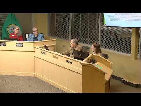
Planning staff opened the meeting with a detailed presentation of proposed critical‑areas code updates focused on stream and wetland buffers. Staff explained that recent Fish & Wildlife and Department of Natural Resources guidance recommends a 100‑foot minimum buffer in many cases and that a site potential tree‑height model could produce widths of up to 231 feet on some properties.
The presenter said staff used an analysis and a gap analysis (provided in the packet) to compare options and that the planning commission recommended a compromise buffer that increases protection compared with the city’s current code but is less extensive than the state tree‑height model. As the presenter summarized, "a minimum, you need a 100 feet of buffer from any wetland..." The presentation included GIS maps showing coverage increases under different models and an estimate that the proposed approach would result in approximately 82% parcel coverage by the adopted buffer compared with much higher coverage under the full tree‑height predictive model.
Council asked practical questions about nonconforming properties and rebuilding after damage; staff said the objective is no net loss of function and that already‑disturbed, landscaped areas could generally remain as maintained rather than be required to convert back to a natural state. The planning commission and staff noted additional work on culturally significant trees and a separate climate element outreach process.
Next steps: The critical‑areas update will remain on the council’s work plan; staff indicated additional outreach and verification steps (site-level verification of DNR data) before formal adoption and subsequent ordinance readings.