Commissioners discuss wildland‑urban interface map and possible county WUI code adoption
Get AI-powered insights, summaries, and transcripts
Subscribe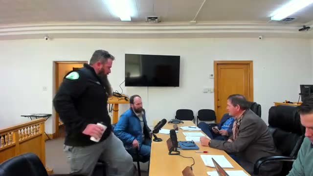
Summary
County planning and fire officials briefed the commission on Utah’s new WUI map, enforcement choices and insurance impacts; staff will return with mapped options and state implementation personnel for further discussion.
Planning and fire officials briefed Rich County commissioners on the state's new wildland‑urban interface (WUI) map and discussed options for county adoption and enforcement.
Mitch Paulson, planning administrator, and a Travis representative from Utah Forestry/Fire explained that the state has released a WUI map that establishes minimum areas the county must consider. Commissioners debated whether to adopt the state map as a minimum or to draw county boundaries that reflect local conditions such as canals, irrigated fields and development patterns.
Officials cited insurance impacts and building standards as practical drivers for policy choices. One official noted that insurance companies and home‑hardening standards are already pushing property owners toward Class‑A construction and defensible‑space practices. Commissioners emphasized the need for a map that is easy for planning and zoning staff to apply at the building‑permit stage.
Comments stressed a phased approach: adopt the state's minimum now while producing county options that narrow or broaden the mapped area based on local conditions. Staff said they will bring several mapped options and state implementation personnel to a future meeting so commissioners can decide whether to adopt the state map as written or add county‑specific boundaries and exemptions.
No formal action was taken; staff will return with boundary options and implementation guidance.