Get Full Government Meeting Transcripts, Videos, & Alerts Forever!
Get email alerts on the Snowpack Outlook topic
No spam. Unsubscribe anytime.
Utah snowpack at 58% of normal; agency warns record lows and higher wildfire risk
Summary
Jordan Clayton of the Utah Snow Survey said statewide snow-water-equivalent is about 58% of normal, with roughly a 20% chance of reaching a normal peak and about 25% of SNOTEL sites at record lows; he warned early melt and dense snow increase wildfire risk and reduce reservoir returns.
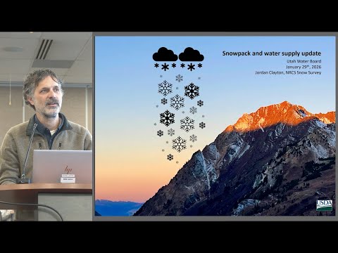
Jordan Clayton, supervisor of the Utah Snow Survey, told meeting attendees that Utah’s statewide snow-water-equivalent is currently about 58% of normal and that conditions are approaching historically low levels. "Currently, 58% of normal, which is only the second percentile, meaning that we've been better than this 98% of the time, and this is bordering on uncharted territory," Clayton said.
Clayton said the statewide index places 2026 near the bottom of historical totals and compared this year with 1981 and 2018 as among the worst to date. He said roughly 25% of SNOTEL sites were recording their lowest snow-water-equivalent on record as of the previous day. "Everything in red is at record low snow equivalent for this day," he said, noting that many lower-elevation sites are most affected while the highest-elevation sites remain closer to normal.
The supervisor described several drivers. High-elevation rain and warm temperatures have increased the density of the snow that does exist, a condition he called precarious because dense, early-ripening snow typically yields a lower return to reservoirs. He also said statewide mountain soil moisture is unusually wet—around the 80th percentile—because some precipitation arrived as rain rather than snow, which amplifies concerns about forage growth that may later dry and elevate forest-fire risk.
Clayton quantified the shortfall and the odds of recovery. He estimated it would take about five to six additional statewide storms, above the typical storm frequency, to close the deficit. He lowered a previously stated chance of catching up to a normal peak to about 20 percent and said there is about a 20 percent probability the state’s peak snowpack could be a new record low if present trends continue.
Reservoir storage gives some buffer: Clayton said reservoirs were about 62% of capacity as of Jan. 1, placing them between recent years’ conditions. But streamflow gauges and river forecasts show many basins moving into anomalously dry territory; he noted the USGS stream-gauge network reports record-low flows at some locations and that most of Utah is mapped in D2 drought with pockets of D3.
Clayton highlighted forecast uncertainty. He said the forecasting system is probabilistic and struggling this year because precipitation inputs (high early-season October totals) and current low snow-water-equivalent values lack good historical analogs. He warned February 1 forecasts are likely to be substantially lower than current guidance.
He closed by advising caution: without several substantial storms, Utah is likely to see below-average runoff, increased wildfire risk later in the year, and reduced efficiency of snowpack-to-reservoir delivery. He said the Snow Survey would continue to update forecasts and invited requests for additional localized guidance forecasts from the group.
The Snow Survey plans to publish updated forecasts in early February and monitor conditions through the typical peak in late winter.