Get Full Government Meeting Transcripts, Videos, & Alerts Forever!
Get email alerts on the Wildfire Mitigation topic
No spam. Unsubscribe anytime.
Bountiful adopts state Wildland‑Urban Interface code and local map; council asks how homeowners will be notified
Summary
Council adopted Ordinance 2025‑18 to adopt the Utah Wildland‑Urban Interface (WUI) building code and a local WUI map. Council members pressed staff on permit triggers (substantial remodels, reroofing) and on public outreach to affected property owners; staff said Part 2 of the state program will later classify risk and impose state assessments.
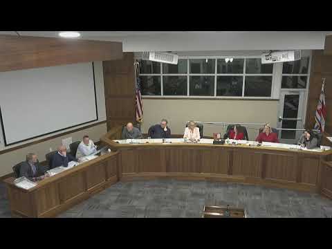
Bountiful City Council voted to adopt the Utah State Wildland‑Urban Interface (WUI) building code and a local WUI map, approving Ordinance 2025‑18 on Dec. 9.
Planning staff explained the change is part of state legislation requiring cities to adopt the new WUI building code and a map that designates where those increased building standards will apply. Brad Jepsen, who presented the item, said the map identifies areas where developed parcels meet undeveloped land and where mitigation tools can reduce fire danger. "This new building code will give our building inspector some discretion, basically to mitigate fire dangers within this area," Jepsen said.
Council members asked how property owners would learn about the new requirements. A staff building official answered that the trigger for many requirements will be the building‑permit process: "If someone goes to apply for a permit at the permit desk, the staff would check in and let the applicant know that they are in this area and that some special conditions might apply…A substantial remodel…would require compliance," the official said. The official also noted reroofing in the WUI zone often requires using materials that meet the risk level required by the code.
Fire district staff explained the state’s Part 2 would be implemented later and could be more invasive (classifications, letters to property owners, and potential assessments administered by the state). The council asked staff to post the WUI map on the city website and to consider mailing information to parcels on the perimeter; staff said that outreach is feasible and recommended for part 1 (local cooperation) while recognizing state‑led Part 2 outreach and assessments are handled at the state level.
Council moved to adopt the ordinance after those clarifications. The motion passed by voice vote and the ordinance was approved.
Next steps: staff will publish the WUI map and code on the city website and develop outreach materials for owners of parcels included on the adopted map. The council noted that future state actions (risk classifications and assessments) will be implemented by the state and may include additional requirements.