San Rafael presents three long-term sea-level rise options; study estimates up to $2 billion in costs and potential displacement
Loading...
Summary
City presentation summarized a feasibility study of three adaptation alternatives (shore elevation, a tidal gate with pumps, and fill/redevelopment), estimated protection for 11,000–13,000 residents, preliminary costs up to $2 billion, and recommended near-term protective actions and further planning to limit displacement.
San Rafael city staff and consultants presented a two-year feasibility study outlining three broad strategies to reduce flood risk in the Canal neighborhood and along the city’s bayfront.
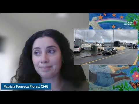
At a public forum, Patricia Fonseca Flores, architect and director of consulting firm CMG, described three alternatives analyzed by the study: (1) elevating shorelines with continuous walls and a rebuilt bay levee; (2) installing a tidal gate at the Canal mouth paired with a new pumping station; and (3) gradually acquiring and raising shoreline parcels with engineered fill and rebuilding structures. Fonseca Flores said each approach carries trade-offs on cost, time to build and community impacts. “Estimamos que cada solución podría costar hasta 2000000000 de dólares,” she told attendees.
The consultants said Alternatives 1 and 2 could protect more than 11,000 people, while Alternative 3 could protect more than 13,000 people but would be the most expensive and disruptive. Time estimates presented ranged from roughly 10–30 years for shore elevation, 10–20 years for a tidal gate, and 20–40 years (with some references to 30+ years) for the fill-and-redevelop option.
Presenters emphasized two practical constraints: much of the Canal shoreline is privately owned, requiring coordination or acquisition of roughly 86 properties that directly border the Canal; and projects affecting waterways will require approvals from multiple agencies, including a federal engineering permit transcribed in the presentation as coming from an Army engineering group. The study recommends the city prioritize protection for critical facilities (fire and pumping stations), maintain and upgrade existing pumping infrastructure and identify the most vulnerable shoreline gaps as urgent, near-term steps.
During a question-and-answer period, councilmember Maika Llorens Bulati and staff underscored that the study is informational and does not select a single preferred alternative. Fonseca Flores said phased relocation strategies and detailed re-housing plans would be necessary if acquisition or large-scale reconstruction proceeds, but that detailed relocation planning was beyond the scope of this feasibility study and would be a next step.
On insurance and affordability, presenters cautioned that insurance markets are changing as climate impacts worsen and urged residents to check available policies; they also said stronger local resilience could make insurance more available and affordable over time. The team directed residents to bilingual resources, recorded materials and the city website for full reports and encouraged continued community participation.
The city concluded the session by thanking partners including Canal Alliance and the Multicultural Center of Marin and said further study and public engagement will continue through the city’s working group. The presentation included multiple maps and photos of recent high tides (December 2024 and a more recent high tide), and presenters urged immediate attention to short-term protections while longer-term financing, permitting and design work proceed.