Get Full Government Meeting Transcripts, Videos, & Alerts Forever!
Get email alerts on the Planning topic
No spam. Unsubscribe anytime.
Council continues 'Bountiful by Design' review after hours of mapping, Orchard Drive and water debates
Summary
Council continued review of the draft general plan "Bountiful by Design," discussing planning commission recommendations, neighborhood-center overlays (including a contentious Orchard Drive 'bend'), a proposed Orchard Drive corridor study, active-transportation language additions, and refinements to hospital-area and foothill place-type descriptions. Council directed staff to make multiple map/text edits and continued the item to Dec. 9.
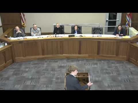
Bountiful City Council spent the latter half of its Nov. 25 meeting on an extended review of the draft comprehensive plan "Bountiful by Design," which staff and consultants compiled after roughly three years of analysis and public outreach.
Planner Francisco Astorga summarized the planning-commission process and emphasized that adoption of the general plan would not automatically change zoning; implementing code and map amendments would follow a phased effort. The planning commission had reviewed and reopened public hearings across multiple meetings and forwarded a positive recommendation to council with edits and clarifications redlined in the draft.
Key topics and council direction:
- Neighborhood-center overlays: Council reviewed several proposed neighborhood-center nodes (for example along Bountiful Boulevard and Orchard Drive). Several council members questioned the practicality of the Bountiful Boulevard node (flood basins and slopes) and agreed to remove it. Council asked staff to refine overlay definitions so they do not create unintended legal nonconformities.
- Orchard Drive "the Bend": Council focused extended discussion on a curve along Orchard Drive known locally as the Bend (bounded roughly 2550 S to 200 W). Concerns included limited sight lines near Bolton Elementary and possible pedestrian-safety impacts. Council reached majority consensus to reduce intensity at the Bend from a "neighborhood center" to a lower-intensity "neighborhood mix" place type (or remove the overlay in a narrow segment) and to add an Orchard Drive corridor study to evaluate circulation, safety, and multimodal options.
- Active transportation and Greenway: Council asked staff to explicitly add the term "active transportation" to transportation goals (suggested insertion in Goal 1, Action 2) and to add or link an action item that recognizes the regional South Davis Greenway feasibility work and prioritizes multimodal corridors.
- Hospital neighborhood and community commercial: Council directed staff to preserve the hospital-area character by clarifying that a "hospital neighborhood" sub-type within the community-commercial place type should limit big-box retail and incompatible high-density residential; staff agreed to add qualifying language describing appropriate uses (e.g., office, medical services) and expressly deeming some uses inappropriate for that sub-area.
- Water stewardship and aquifer concerns: Council added clarifying water stewardship language but weighed a request from public commenters for mandatory aquifer impact studies on new development. Council members noted that such studies would be costly and likely require regional/state coordination; they directed staff to refine plan language and to flag the concern for follow-up with regional partners.
- Miscellaneous edits: Council asked to remove a density range from single-family descriptions, clarified overlay wording and place-type keys, corrected an internet/fiber completion date to reflect progress, and asked staff to ensure map symbology and legend entries match text.
Council did not vote to adopt the plan that night and instead continued the item to the Dec. 9 meeting so staff can incorporate the council'directed edits and return with a revised draft.