Get Full Government Meeting Transcripts, Videos, & Alerts Forever!
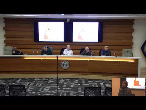
GIS-based building-coverage map shows where lots exceed 25% coverage
Manassas Park Planning Commission · February 11, 2026
AI-Generated Content: All content on this page was generated by AI to highlight key points from the meeting. For complete details and context, we recommend watching the full video. so we can fix them.
Summary
Staff and GIS consultant Blue Raster used AI to map building footprints and found median lot coverage about 16%; higher coverage (25%+) is concentrated in smaller-lot neighborhoods such as Rosebud Court, which will inform possible lot-coverage policy discussions.
Community development staff and GIS consultants presented a demonstration building-coverage map that uses automated detection of building footprints to summarize lot coverage across the city.
"They have through artificial intelligence, as I've been…
Already have an account? Log in
Subscribe to keep reading
Unlock the rest of this article — and every article on Citizen Portal.
- Unlimited articles
- AI-powered breakdowns of topics, speakers, decisions, and budgets
- Instant alerts when your location has a new meeting
- Follow topics and more locations
- 1,000 AI Insights / month, plus AI Chat
30-day money-back on paid plans