Lifetime Citizen Portal Access — AI Briefings, Alerts & Unlimited Follows
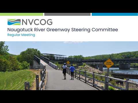
NVCOG highlights Connecticut Trail Census counts and Trail Finder features for Naugatuck River Greenway
Loading...
Summary
NVCOG presented Trail Census usage data (Derby ~218,000 annual passes; Waterbury ~9,000) and promoted Connecticut Trail Finder's manager-approved listings, embeddable maps, and new Trailside Services to connect trail users with local businesses.
Aaron Wooders (identified in the transcript as NVCOG environmental planning director) reviewed the Connecticut Trail Census methods and initial 2024 results for the Naugatuck River Greenway corridor. He described how infrared counters supplemented by volunteer manual counts produce hourly counts and explained limitations: "They tend to undercount. People walking side by side are counted as one; people going fast on bicycles are often not counted," he said.
Wooders reported that the three counters on Naugatuck River Greenway sections recorded about 218,000 trips at Derby last year, another counted about 53,000, and Waterbury about 9,000. He said NVCOG and the Connecticut Trail Census validate the counts with manual observations and expect 2025 data to be posted to the statewide dashboard in the coming week.
Wooders and others said these counts can be persuasive in grant applications: he described Middlebury's recent successful application for snow-clearing equipment, aided by usage data showing significant winter use where trails are cleared.
The presentation also described Connecticut Trail Finder, a manager-approved, public website that lists more than 425 trail postings and over 2,500 miles of trails. Wooders highlighted two features: embeddable maps that municipalities can place on their web pages and "Trailside Services," a new listing type intended to connect trail users with nearby businesses (restaurants, bike shops, coffee shops) to support local economic development. "If it's close enough to a trail, it'll show up when you click on trailside services," Wooders said, adding NVCOG can assist towns in creating or claiming postings.
Kim Bradley (DEEP) said Trail Finder does not yet automatically populate from VisitCT tourism listings but that agencies are exploring closer integration.
Committee members discussed using the data and Trail Finder features in upcoming grant applications and outreach events such as Trails Day and Derby's 20th-anniversary recognition this June.