Get Full Government Meeting Transcripts, Videos, & Alerts Forever!
Get email alerts on the Stormwater Fee topic
No spam. Unsubscribe anytime.
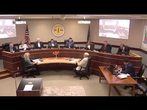
Murrysville council opens discussion on stormwater fee, directs staff to get aerial/GIS estimates
Summary
Council heard a staff presentation on rising stormwater costs and MS4 permit obligations, reviewed conservative annual cost estimates of $500,000–$850,000, and directed staff to obtain pricing for an aerial/GIS survey to map impervious surfaces before drafting a fee ordinance.
Murrysville Borough Council opened a workshop discussion on adopting a stormwater-management (MS4) fee and asked staff to gather cost estimates for an aerial/GIS survey that would be used to calculate an equitable billing unit.
Chief administrator Mister Nistico told council the borough now faces growing maintenance needs and state MS4 requirements that the general fund cannot sustainably absorb. “On the most conservative of estimates, we’re probably over $500,000 a year annually,” he said, then outlined a broader range that more realistically approaches $700,000 to $850,000 annually when permitting, pond retrofits, mapping, equipment and streambank restoration are included.
Nistico said the first technical step would be mapping impervious surface across residential and nonresidential parcels so staff can define an equivalent residential unit (ERU) and apply fees equitably. “In order for us to move forward and consider the stormwater fee ... the first step in that process would be to move forward with an aerial survey of the community,” he said. Staff told council the survey could be done in-house or contracted and that they would return with cost options before any expenditure.
Staff walked council through elements that the fee would cover and how it is commonly structured: single-family homes are typically assigned one ERU (based on an average impervious area), and nonresidential properties are charged by measured impervious square footage. The borough’s MS4 permit requires ongoing reporting and improvements; staff noted DEP permit fees alone run $2,500 per year and that permit compliance is an ongoing obligation rather than a one-time five-year safe harbor.
Council members asked about credits for on-site mitigation (for example, flow attenuation, rain barrels or educational programs), the ability to require mapping for new developments, and whether existing FTMSA mapping could be reused. Staff said some mapping exists (an earlier intern had mapped perhaps 20–40% of the system surface-level features) but emphasized a comprehensive aerial-based analysis is needed for reliable revenue projections and equitable assessments.
Council did not adopt an ordinance at the meeting. After questions and discussion, a majority of council members said they wanted data before deciding on a fee and asked staff to obtain pricing for an aerial/GIS survey and to report back with options and costs. Staff committed to collecting prices and returning to council with recommendations.
Next steps: staff will gather cost estimates for aerial/GIS mapping and present those figures and revenue projections to council before any ordinance is advertised or adopted.