Get Full Government Meeting Transcripts, Videos, & Alerts Forever!
Get email alerts on the Land Use Development topic
No spam. Unsubscribe anytime.
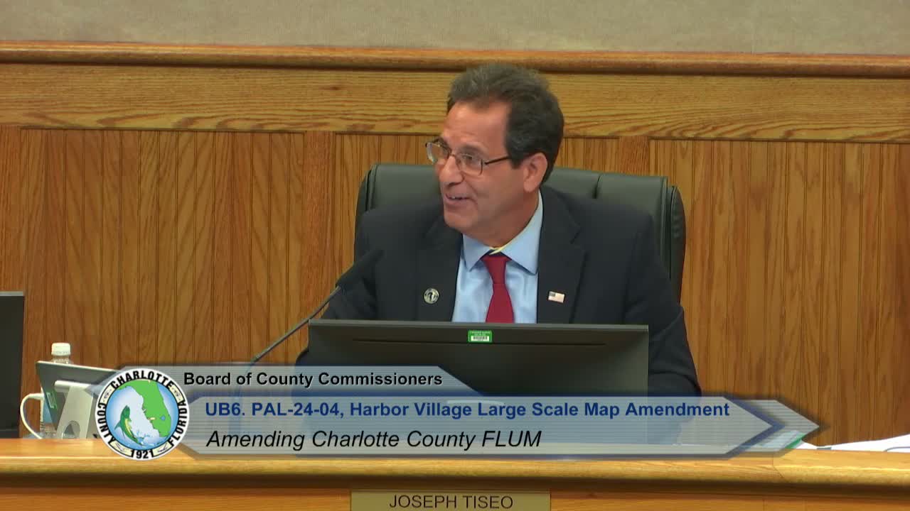
Charlotte County approves Harbor Village plan and PD zoning with new conservation and dock limits
Summary
After months of community meetings, the county approved a comprehensive-plan and zoning package for the Harbor Village (formerly West County Town Center) project that reduces residential entitlements, increases preservation acreage and prohibits private docks along specified waterways, while requiring enhanced buffers and higher finished-floor elevations.
Charlotte County commissioners on July 22 adopted a package of land‑use changes and a planned‑development rezoning to govern the long‑discussed Harbor Village project, the successor to the older West County Town Center approvals.
The action formalizes a proposed buildout that reduces the project’s maximum residential entitlements from 3,960 units under prior approvals to 3,475 and reduces non‑residential square footage while enlarging the preservation area from roughly 92 acres to about 163 acres. The rezoning applies to about 840 acres of the roughly 1,174‑acre site. The board transmitted and then adopted text and map amendments and the PD ordinance after public hearings, passing the measures unanimously.
The applicant and its consultants said the changes respond to updated market conditions and to community concerns. Rob Bernsen, the applicants’ attorney, told commissioners the team had worked extensively with neighbors and had agreed to a set of binding PD conditions “to ensure the project is an environmentally sensitive mixed‑use waterfront community,” including removing dock entitlement from individual lots and concentrating all marina slips within a single marina basin. Bernsen said the applicant will add an explicit PD condition stating that “except for the kayak cut‑through and marina‑basin entrance, all mangroves along the canal shall be preserved and only trimmed in accordance with FDEP rules.”
Planning staff and the applicant also agreed to require a minimum PD setback and to prohibit platted lots that extend to navigable water lines on the Interconnector and Butterford waterways; the ordinance now requires that language be implemented through deed restrictions approved at the time of platting. Planning official Sean Cullinan described the approach as “belts and suspenders” designed to prevent future private riparian actions that could produce docks or slips along those channels.
Commissioners and neighborhood representatives repeatedly raised enforcement and compliance concerns, citing earlier incidents in nearby developments where vegetation and mangroves were removed without permits. Jim Krause, a South Gulf Cove resident and member of the MSBU Waterway Committee, warned that prior unpermitted mangrove clearing and non‑compliant docks had undermined local habitat and that county and state enforcement would need to be vigilant.
Todd Reebel, the project civil engineer, presented storm‑surge analysis and engineering constraints for the property and said the PD now includes a self‑imposed minimum finished‑floor elevation of 10.7 feet to place new structures at or above predicted Category‑2 storm surge levels based on NOAA and FEMA slosh and flood maps. Reebel said the proposed elevation exceeds minimum Florida Building Code requirements and county coastal‑hazard guidance.
Commissioner discussion focused on tradeoffs: several commissioners noted the project reduces total entitlements and increases conserved acreage, while acknowledging the site remains within coastal high‑hazard and storm‑surge zones. Commissioner Constance said the proposal’s lowered unit count and added buffers were improvements but emphasized the need for enforceable, long‑term protections. The county attorney’s office confirmed mangrove trimming and removal remain within state jurisdiction, and county code enforcement will refer potential mangrove violations to the Florida Department of Environmental Protection for investigation.
The ordinance requires several conditions: an expanded preservation area, a pattern book with design standards, a wetland and natural resource management plan in place of an earlier perpetual conservation easement model, a non‑residential equivalency matrix to allow limited flexibility for commercial/light‑industrial square foot allocations, enhanced landscape buffering and opaque fencing between new development and adjacent neighborhoods, DeSoto/FDOT‑coordinated traffic concurrency that must meet agreed assumptions, and monetary contributions toward shelter capacity for coastal evacuation needs.
The board approved the comprehensive‑plan text amendment, the map amendment and the PD rezoning in separate votes and instructed staff to enforce PD conditions during subsequent platting and site‑plan reviews. The applicants said they will record deed restrictions at platting to maintain the waterfront buffer and the no‑dock intent in perpetuity.
The next procedural steps are final platting, detailed environmental and species‑specific surveys and all state and federal permitting reviews for shoreline and marina permits required by the Florida Department of Environmental Protection and federal agencies. The applicant and county staff said those studies will be completed in the permitting phase and will inform any required mitigation.