Get Full Government Meeting Transcripts, Videos, & Alerts Forever!
Get email alerts on the Public Safety Wildfire topic
No spam. Unsubscribe anytime.
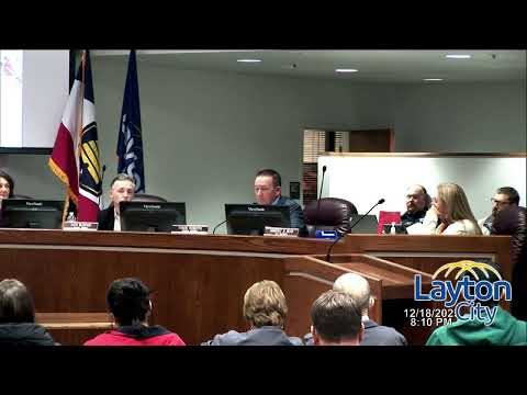
Layton to adopt Utah WUI code; council narrows map, will ban fireworks in WUI zones
Summary
City fire staff asked the council to adopt the 2006 Utah Wildland-Urban Interface (WUI) code to stay in the Cooperative Wildfire System required by House Bill 48; staff proposed a reduced local map and noted the state's high-risk assessment currently does not include Layton homes so no immediate homeowner assessments are expected.
City fire staff presented ordinance 25-26 to adopt the 2006 Utah Wildland-Urban Interface (WUI) code and to keep Layton in the Cooperative Wildfire System (CWS) created under House Bill 48.
Gavin Moffat, the fire presenter, said the WUI participation is "like an insurance policy" that relies on prevention, preparedness and mitigation activities. He explained the city must adopt the Utah WUI code to remain eligible for the program and the financial protections it provides in the event of a catastrophic wildfire.
Moffat described a locally revised WUI map the department prepared with chiefs and fire-prevention staff to reduce the footprint of restricted areas compared with prior maps. He said the new map aims to balance risk mitigation with limiting the code's effect on neighborhoods.
The WUI code includes a provision that forbids use or possession of fireworks within WUI-designated areas. Councilmembers asked how possession would be enforced for small items (for example, sparklers) and whether the possession prohibition is new; Moffat said the code language derives from the model WUI standards and would apply where the map designates restricted areas.
Moffat and other staff also discussed two separate maps: the local WUI map the city adopts to apply the code and a high-risk map the state uses to determine potential homeowner assessments. "As of today, the map I saw, there's no homes in Layton City that are actually affected by it," Moffat said, explaining that the state's assessment map (used for fee/assessment planning) appears to focus on canyon and higher-hazard areas outside Layton.
Council discussion focused on the map-drawing process, the three-year review requirement for the local map, enforcement practicality and the importance of remaining in the CWS program to preserve state cost-recovery and mutual-aid benefits. The ordinance was included in the consent agenda and approved by voice vote.