Get Full Government Meeting Transcripts, Videos, & Alerts Forever!
Get email alerts on the Gis Modernization topic
No spam. Unsubscribe anytime.
Hanford shows off new GIS tools aimed at speeding housing approvals and field work
Summary
City staff and consultant Langan demonstrated a cloud‑hosted Esri GIS system that consolidates property, utility and park asset data, adds mobile field collection and plans a public data portal in mid‑January to improve permitting, maintenance tracking and public access.
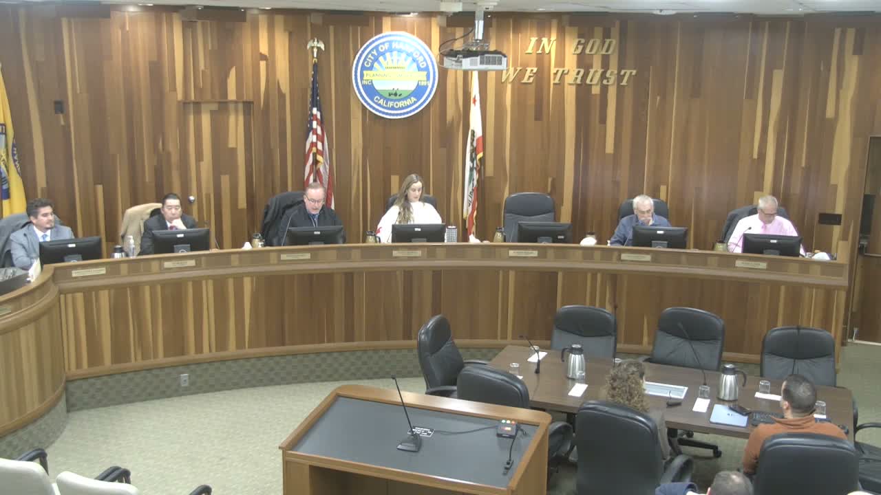
Deputy City Manager Jason Waters introduced a demonstration of the city’s grant‑funded GIS modernization, telling the council the project’s goal is “improving opportunity for housing development and trying to find ways to make sure that housing could get from an idea to actual construction.”
Consultant Brock of Langan walked the council through GIS basics and three application types — web maps, mobile apps and dashboards — and showed examples including parcel/zoning overlays, water and stormwater network layers, park asset counts and mobile inspection forms. He said the city’s GIS environment uses Esri software and is hosted in an AWS data center, adding that the system is intended to be the city’s authoritative spatial dataset so, for example, “there is 1 fire hydrant layer, and that is the authoritative dataset for that layer.”
Staff demonstrated how dashboards can show asset quantities and attributes (pipe diameters, install ages, park equipment installation dates) and described a plan to tie GIS to an enterprise asset management system in the next 1–3 years to store maintenance records and support capital planning.
Brock and Madison (city GIS lead) said the project will include a public‑facing portal planned for mid‑January that will show selected datasets such as zoning and parcels; city employees will retain edit privileges while the public will have view‑only access. They also described a live data sync effort with Kings County to keep parcels and addresses updated automatically.
Councilmembers praised staff and consultants for progress, and Brock said he submitted an abstract to the Esri users conference to highlight Hanford’s deployment. The presentation closed with staff noting next steps: workforce training, completion of data sharing agreements and integration planning with dispatch and SCADA systems.
The GIS demonstration concluded without formal action; council asked staff to continue implementation and public education ahead of the portal rollout.