Get Full Government Meeting Transcripts, Videos, & Alerts Forever!
Get email alerts on the Housing Development topic
No spam. Unsubscribe anytime.
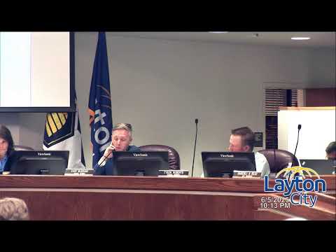
After weeks of debate, Layton council approves Hobbs Creek Village PRUD 4–1
Summary
Following multiple public meetings and more than an hour of public comment on slope stability, trail alignment and property rights, the City Council approved Resolution 25‑16 and Ordinance 25‑08 to rezone the Stowell property as Hobbs Creek Village PRUD by a 4‑1 vote.
Layton City Council voted 4–1 June 5 to approve the Hobbs Creek Village Planned Residential Unit Development — a 27‑lot subdivision proposed for land east of Hobbs Creek Pond and south of Highway 193 — after extensive public comment and follow‑up staff analysis.
Staff and the developer said the PRUD layout clusters homes on engineered pads to reduce disturbance to sensitive slopes. City planners showed recent on‑site measurements and described modifications the developer made since the May meeting, including shifting several building pads at least five feet away from mapped 30% slope areas and providing building‑footprint examples sized to fit pads.
Residents who live in adjacent subdivisions urged the council to delay or deny the rezone, saying nearby homes had experienced slope failures in the past, raising concerns about long‑term stability, homeowner insurance and future liability. Neighbors also objected to the planned alignment of a multiuse trail and to a potential trailhead and parking that staff said are intended to prevent trail users from parking in nearby neighborhoods. One homeowner raised a legal concern that a new public access around a privately owned lot could amount to a de facto taking; city counsel said the proposal does not take property.
Developer Adam Anderson and engineering firms (CMT, GeoStrata and IGES) told the council the project meets geotechnical standards, that basements in many homes increase set‑back distances from steep slopes, and that the plan includes drainage and vegetation measures to reduce surface‑water impacts. Staff said the proposal exceeds minimum PRUD mitigation in several respects and includes additional off‑street parking and street cross‑sections intended to limit on‑street parking and maintain emergency access. Staff also said the trail alignment was selected for emergency and utility access and to provide a connection to the underpass beneath Highway 89.
During roll‑call debate members explained their votes. Supporters said the PRUD preserves more open space than an alternative R‑1‑10 layout and that engineering and added setbacks addressed the principal risks; one councilor voted no, citing unresolved concerns. Council adopted Resolution 25‑16 and Ordinance 25‑08 by roll call (4–1). The council directed staff to continue coordinating with parks and public works on the trail alignment and to keep residents informed of construction‑stage geotechnical measures.