Get Full Government Meeting Transcripts, Videos, & Alerts Forever!
Get email alerts on the River Corridor Floodplain topic
No spam. Unsubscribe anytime.
Committee weighs river‑corridor protections against rebuilding needs on US 70
Summary
Staff proposed carving some small commercial parcels out of a proposed River Corridor overlay so they can retain Mixed Use 1 status; business owners warned that floodplain remapping and FEMA rules could already impede rebuilding and urged retaining commercial viability on US 70.
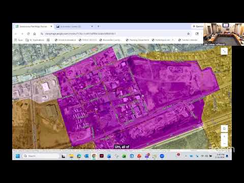
At the Swannanoa workshop, staff presented a proposed River Corridor designation intended to protect riverine areas and manage flood risk. Several small parcels on US 70 currently used for businesses were discussed for possible reclassification to Mixed Use 1 to reflect active commercial uses.
Staff (S2) explained the purpose of a River Corridor overlay and noted that some parcels fall in the regulated 100‑year floodplain. S2 said overlay tools such as steep‑slope and elevation overlays can limit building size (an example cap of 10,000 square feet was discussed) and that the county’s flood ordinance is tied to current FEMA maps, which will be updated and may change floodplain boundaries in about five years.
Business owners and property‑owners (S7 and others) argued that designating the corridor more restrictively would devalue active commercial parcels and could make rebuilding financially infeasible after the flood. One participant summarized the local concern bluntly: “I don’t think we should restrict it further on this committee because FEMA’s going to do it,” and urged leaving the corridor as Mixed Use 1 in places where commercial activity and jobs depend on those parcels.
Staff acknowledged that reasonable protections can be crafted through implementation actions (overlays, size limits and resilient design standards) and that more technical input (floodplain administrators and engineers) is needed before drawing final River Corridor lines.
Next steps: staff will document parcel‑level recommendations, coordinate with the county floodplain administrator for technical constraints, and present policy options (overlay standards vs. straight River Corridor designation) at a future meeting.