Get Full Government Meeting Transcripts, Videos, & Alerts Forever!
Get email alerts on the Telematics Street Vision topic
No spam. Unsubscribe anytime.
Traffic Safety Commission shows telematics can target enforcement, reduce speeds
Summary
The Traffic Safety Commission presented telematics analyses showing targeted enforcement correlates with lower speeds on high‑risk corridors and said a new Street Vision tool will help law enforcement identify and evaluate interventions.
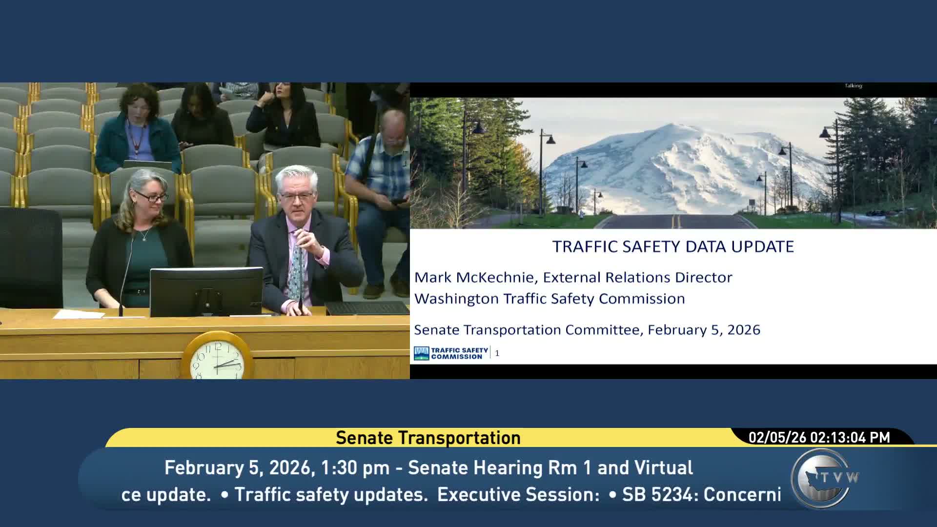
The Washington Traffic Safety Commission told the Senate Transportation Committee on Feb. 5 that telematics data and a new Street Vision platform can help law enforcement target high‑risk corridors and measure the impact of focused enforcement.
Stacy Hoff, the commission’s research director, described two projects: an evaluation with Michelin Mobility Intelligence showing that increased officer hours on a corridor reduce average speeds (about 5.6 mph per additional officer‑hour per mile on interstates in the study), and ongoing work with Cambridge Mobile Telematics’ Street Vision platform to guide local enforcement. Hoff noted a Spokane emphasis weekend where four officers produced 206 contacts, 128 infractions and 16 criminal citations and reduced the share of excessively speeding traversals on one corridor from 35% to 30%.
Hoff emphasized that telematics datasets used by the commission are anonymized and aggregate trips; Cambridge’s platform is opt‑in through insurers and is not a real‑time surveillance feed to troopers. "No driver information and no trip information," she said, describing the commission’s privacy approach. She also presented telematics estimates that one in four trips included a cell‑phone interaction and that 90% of drivers had at least one excessive‑speeding event in the prior month, data she said were not available before telematics.
Committee members asked about terrain effects on corridor speed and how platform outputs are used locally; Hoff said local engineers and enforcement can combine the tool’s findings with on‑the‑ground knowledge and that Street Vision includes terrain layers to help interpret results.
The Commission said a fuller report will be available July 1, 2026; members praised the tool but raised questions about representativeness (insurance‑opt‑in populations) and whether the data could be used in near‑real time for enforcement.