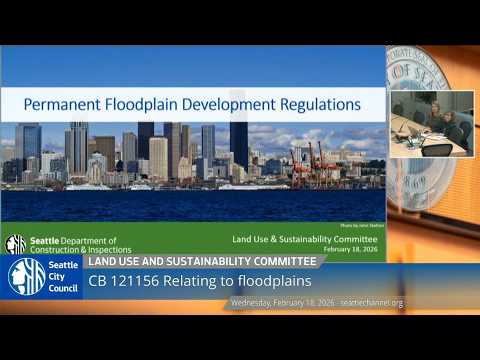
Seattle committee reviews permanent floodplain rules after 2020 FEMA map changes
Loading...
Summary
The Land Use and Sustainability Committee heard SDCI staff on Feb. 10 about proposed permanent floodplain regulations to adopt FEMA—s February 2020 maps; staff explained VE-zone measurement changes, freeboard adjustments and impacts to areas including the Duwamish and Elliott Bay, and scheduled a public hearing for March 4, 2026.
Seattles Land Use and Sustainability Committee on Feb. 10 received a briefing from the Seattle Department of Construction and Inspections on proposed permanent floodplain development regulations designed to align the city—s code with Federal Emergency Management Agency maps finalized in February 2020.
SDCIenvironmental regulations specialist Maggie Glowacki summarized the proposal as permanent code changes that adopt the 2020 FEMA maps and set development standards required to keep the city in the National Flood Insurance Program. "These permanent regulations are part of the city codes, and they provide development standards that makes homes, businesses, and people safer from flooding," Glowacki said.
Why it matters: FEMA required jurisdictions to adopt updated flood maps after the 2020 update; without adopting regulations consistent with those maps, property owners risk losing access to federally backed flood insurance and the city risks losing eligibility for certain federal mitigation funds. Glowacki said the proposed permanent maps are identical to the interim maps the city has been using under a series of extensions since 2020.
Key changes and where they apply: SDCI said major mapping changes occurred in the Duwamish River corridor, Harbor Island, Elliott Bay and other Puget Sound shorelines, and along Thornton and Longfellow creeks. The presentation highlighted two technical shifts:
- VE-zone measurement: For some coastal and high-risk areas now designated VE, the code will measure base flood elevation from the lowest structural member rather than the lowest floor; Glowacki explained the measurement point sits about 3 feet below the lowest floor in many cases, and that change informed a decision to set the VE-zone minimum elevation standard to the base flood elevation in those areas.
- Freeboard adjustments in AE and other zones: Prior code had required structures to be elevated 2 feet above base flood elevation in many areas; SDCI said it increased that to 3 feet in some AE areas while the VE-zone standard was set to the base flood elevation to reflect the different measurement point.
SDCI also described other updates: minimum standards for storage of materials and equipment (including hazardous materials) now require either storage in a structure meeting the standards or storage in a reasonably flood-safe manner; the department removed installations that store hazardous materials from the city—s "critical facilities" definition to match FEMA changes; and the department revised how it reports change (using area rather than parcel counts) to clarify the extent of mapping shifts since 1995.
Council questions and clarification: Council member Foster asked staff to revisit a slide explaining when existing structures must be upgraded. Glowacki said the "substantial improvement" trigger remains: "that threshold is greater than 50% of the cost of the structure, then that triggers the project to come into compliance," and in the AE-zone example she used, development that meets that threshold would be held to base flood elevation plus 3 feet (the previous standard had been plus 2 feet).
Process and next steps: SDCIstaff (including legislative manager Christina Postelweit) said they will schedule additional briefings for members and staff; the committee scheduled a public hearing on the proposed regulations for Wednesday, March 4, 2026, at 9:30 a.m.
What the committee did not do: No formal vote on the ordinance was taken at this briefing. The committee adopted the meeting agenda by consensus at the start of the session and adjourned after scheduling the public hearing.
Documents and legal references discussed: presenters cited FEMA standards (including 44 CFR 60.3) and repeatedly referenced the February 2020 FEMA flood insurance rate maps and associated changes to Seattle Municipal Code sections read with the agenda item.
Next procedural step: SDCI will return for a public hearing March 4, 2026, when the committee will accept public testimony on the proposed permanent floodplain regulations.